
 English
 Español
 Français


Discover Europe in a different way through greenways!
Looking for ideas for your next trip? Here you can find useful information to help you choose your greenway. See the article on VisitEurope.com
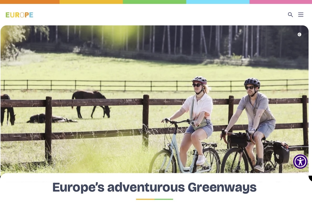
Greenways are perfect for cyclists, hikers, families, and people with reduced mobility, offering a wonderful way to connect with nature.
Discover Europe at a slower pace through its 30,000 km of Greenways – traffic-free routes through stunning landscapes, rich heritage, and local culture. Designed for walking, cycling, horseback riding, and other engine-free adventures, these peaceful trails offer a different way to experience nature and authentic destinations off the beaten track.
EUROPEAN PERSPECTIVE
European Greenways Observatory (EGO):
The European Greenways Observatory (EGO) is an online platform designed to showcase as many European greenways as possible. It provides detailed information on the location and main features of these routes, helping visitors plan their journeys and explore Europe at their own pace.
Members of the European Greenways Association (EGWA) and other organisations contribute key information about their greenways, creating a comprehensive and constantly growing resource.
Available in English, French, and Spanish. We are currently working on the renovation of the Observatory.
BELGIUM – WALLONIA
Wallonia has an extensive greenway network known as the RAVeL, which runs along former railway corridors as well as towpaths beside canals and rivers.
Following the decline of the coal and steel industries, visionary advocates such as Gilbert Perrin helped preserve disused rail lines and convert them into the renowned RAVeL network (Réseau Autonome des Voies Lentes), a cycling, walking, and horseback riding network built on disused industrial railway lines. >>> read the article on VisitEurope.com
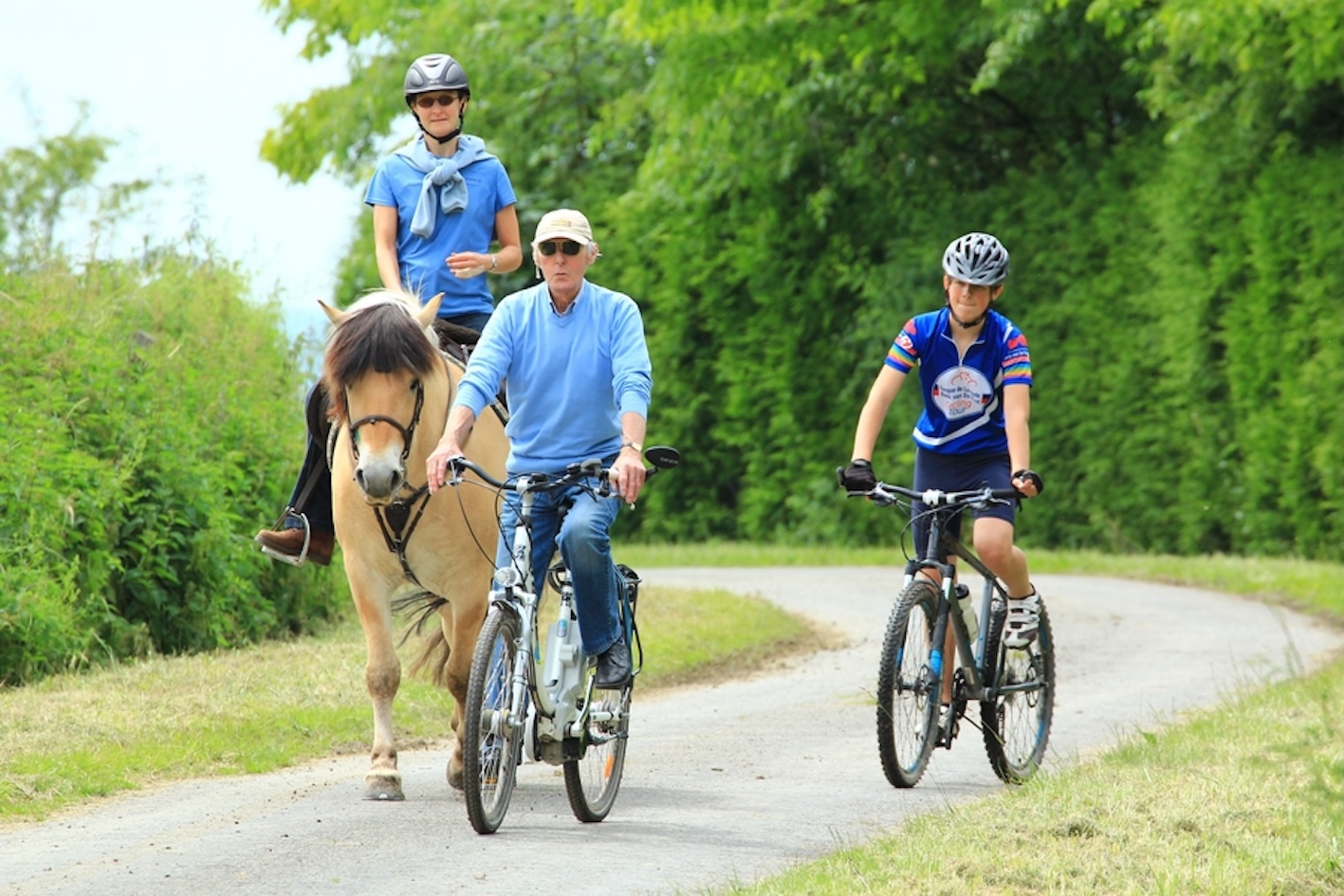
The RAVeL network comprises more than 1,550 km of routes reserved for walkers, cyclists, horse riders, and people with reduced mobility, offering safe and accessible opportunities to explore the region. The organization behind the Wallonian greenways is Chemins de Rail, one of the founders of EGWA.
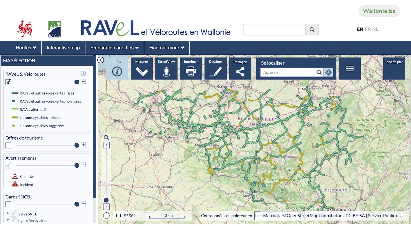
You can use the online interactive map of the RAVeL network provided by the Walloon Region to plan your trips: ravel.wallonie.be. Fact sheets on these former railway lines can be found here: Chemins de Rail – Discovery Trails.
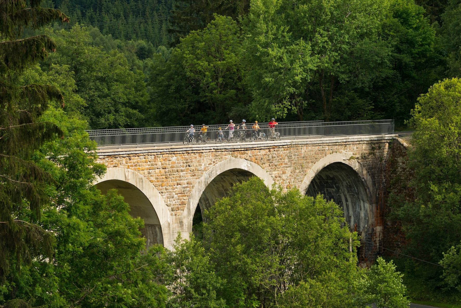
Special greenways to discover:
- The RAVeL greenway of Lines 38 and 39 from Liège to Aachen
This greenway was awarded the 1st European Greenways Award for Excellence in 2021 under the title “From Liège to Aachen by the RAVeL: A Cross-Border Greenway via Lines 38/39.” Aachen is also the starting point of the Vennbahn.
The route offers high-quality infrastructure and services, making it suitable for year-round use. As is typical of greenways, it is widely used by both cyclists and pedestrians. It also serves as a practical and safe route for local schoolchildren, many of whom use it for their daily journey to and from school.
A distinctive feature of Line 38 is the successful conversion of several former railway stations to new uses, including a brasserie/restaurant, a reception and events venue, a bakery and tea room, a community administration centre, and a tourism office.
The section between Fléron, Herve, Aubel, and Hombourg is fully accessible to people with reduced mobility and has been certified by ACCESS-i. Adapted cycling routes and accessible facilities make this section particularly inclusive. Further information is available at: Pays de Herve – Accessible Line 38.
Download the brochure of Line 38!
- RAVeL Lines 150 and 98
RAVeL Line 150 from Houyet to Jemelle in the province of Namur — a 21.5 km family-friendly greenway following the beautiful Lesse River valley. The route crosses the river several times and passes through striking scenery, including the 400-metre Hour Tunnel and the forests near the Royal Castle of Ciergnon. It continues through Rochefort, known for its local gastronomy and Trappist beer, before ending in the wooded landscapes of Jemelle — a perfect blend of nature, heritage, and slow travel.
Line 98 is a family-friendly 38 km RAVeL route connecting Mons to Quiévrain and the Honnelles region. Built on former railway lines from the Borinage coal basin, it reflects the area’s mining heritage while offering a varied landscape that shifts from urban and industrial zones to forests and farmland. Today, the greenway consists of several sections that can be combined into different itineraries, showcasing how a former industrial heartland has been transformed into a network of green, cultural, and recreational trails.
One of the best examples of railway heritage transformation is the beautifully restored former Racour Station on RAVeL Line 147, accessible by bike via greenways from Landen in Flanders and towards Namur in Wallonia. It has become a meeting point for greenway users from both the Flemish and Walloon communities. Built in 1907 and now a protected heritage monument, it is a fine example of rural Belgian railway architecture, carefully preserved to reflect the history of the former line.
Racour Station received the Special European Greenways Award 2021 on the occasion of the Year of Rail.
The Vennbahn is a fantastic greenway connecting three countries – Germany, Belgium, and Luxembourg – along a former railway line. This 125 km cycling and walking route runs from Aachen through eastern Belgium to Troisvierges, offering fascinating landscapes, a unique cross-border atmosphere, and a rich heritage reflected in the history and stories of the Vennbahn. The route is supported by excellent visitor information and a wide range of tourist products that can be booked online with ease. The entire region is an outstanding destination for leisure activities, particularly for hikers and cyclists. It was awarded with the First Prize of the 8th European Greenways Award in 2017.
BELGIUM – FLANDERS
There are many opportunities to discover the very best of Flanders with its outstanding heritage, art, countryside, and local products. It features an extensive network of greenways, including distinctive cycling and walking routes – rail-to-trail paths, as well as scenic canal routes, and nature-based trails.
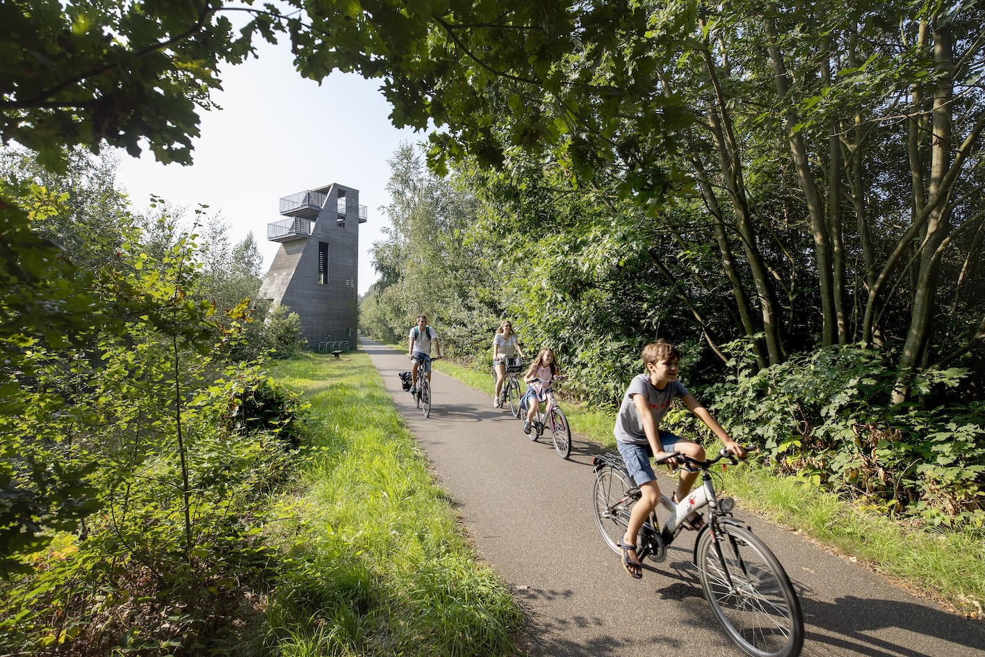
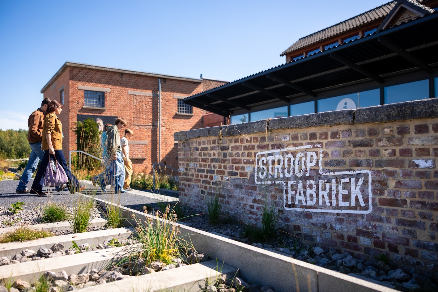
- Railway Line 23 – today known as the Fruit Railway Greenway – was a 33.4 km Belgian railway built in the late 19th century, connecting Drieslinter with Tongeren.
It earned its nickname from its role in transporting fruit and sugar beets to nearby syrup factories along the line. Passenger and freight services ended in the late 1950s as the local fruit and syrup industries declined. Since the 1990s, much of the former railway has been transformed into a cycling and walking path, with sections preserved as green corridors and nature-rich habitats.
- Greenway Bels Lijntje is a cross-border greenway made on a former 19th century cross-border railway, running between Turnhout and its beautiful railway station in the Flemish Province of Antwerp and Tilburg (the Netherlands).
Today, the 30 km route crosses the Belgian–Dutch border multiple times, guiding cyclists and walkers through forests, heathlands, rural villages, and the unique enclave area of Baarle-Nassau and Baarle-Hertog. Along the way, traces of the railway’s history remain visible in old stations, guard houses, bridges and heritage sites, making the Bels Lijntje both a scenic and cultural greenway experience. Along the route, former railway buildings have found new life, such as the Vakantiewoning Bels Lijntje, a holiday accommodation located directly on the greenway.
- The Groene 62 is a 22 km greenway created along a former railway line between Torhout and Oostende.
Once part of a rail connection linking the Belgian coast with France, the line was transformed in the 1990s into a peaceful, traffic-free route for cyclists and walkers. Today, the greenway crosses a remarkable variety of landscapes – from forests and sandy woodlands to historic polders and wetlands – while preserving traces of its railway heritage, including old stations, bridges, railway houses, and embankments. The Groene 62 is now both a recreational and everyday mobility route, valued for its biodiversity, scenic views, and connection to the cultural and natural heritage of West Flanders.
Two cycling itineraries are particularly recommended for exploring UNESCO-recognised heritage and learning about the history and significance of the unique and charming beguinages. Beguinages were communities where Beguines – devout women who lived independently without belonging to a religious order – resided. Often described as small towns within a town, these communities enjoyed a remarkable degree of autonomy, free from both religious and secular hierarchy.
Visitors can also discover the beautiful city of Mechelen, one of the most attractive cities in Flanders. With its well-preserved architectural heritage and rich cultural legacy, Mechelen offers a fascinating insight into the region’s history.
The following Heritage Greenways cycling routes, located in the the Province of Antwerp and around Mechelen, provide excellent opportunities to explore this heritage:
- Beghina Cycliste – a 40 km route from Boom to Mechelen.
- Mechelen–Diest Cycliste – a 76.5 km route from Mechelen to Diest.
These routes combine cycling with cultural discovery, offering a unique way to experience the landscapes, heritage, and history of Flanders.
LUXEMBOURG
Luxembourg offers both long-distance as well as inter-regional and regional cycling itineraries that consist of sections that follow river valleys, greenways on former railway lines as well as quiet roads. The journeys pass through picturesque villages, forests, green vineyards and orchards and historic landscapes with a rich mix of nature, heritage, and slow cycling experiences.
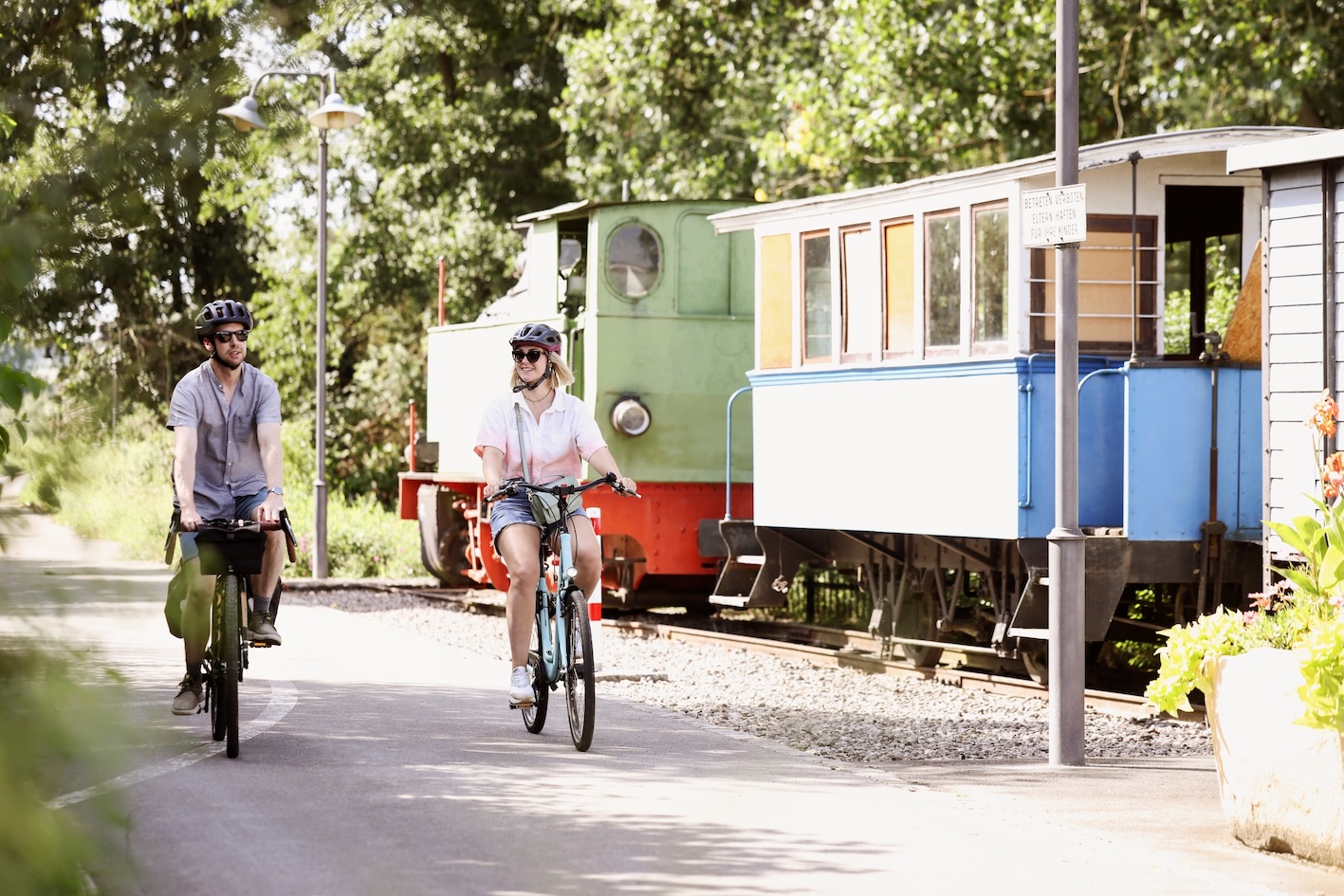
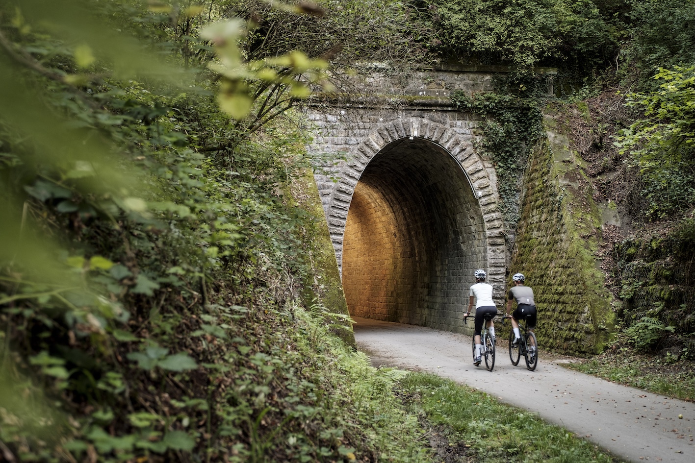
- The “Slow Cycling Guttland – Hidden Treasure” route in Luxembourg is a 31 km circular cycling tour starting and ending at Useldange Castle. It offers a moderately challenging but scenic ride through quiet countryside, gentle hills, and hidden lanes in the Guttland region.
The route highlights the experience of “slow tourism,” guiding cyclists through peaceful landscapes and natural areas before reaching its main attraction, the picturesque Turelbach Castle set on an island in a lake. Along the way, riders enjoy a mix of nature, heritage, and panoramic views, making it a relaxed but rewarding discovery tour in the heart of Luxembourg.
- Vélo Pomarium, a challenging 39.8 km circular cycling route starting and ending at Mertert in eastern Luxembourg, exploring the Moselle and Müllerthal regions.
The route takes cyclists through a varied landscape of vineyards, orchards, forests, and river valleys, offering extensive panoramic views over the Moselle valley. It combines both hilly and flat sections and is best suited for experienced cyclists or e-bike users. Along the way, riders can discover natural highlights, cultural sites, and local producers, including nature reserves, historic paths, and scenic viewpoints, making it a diverse journey through Luxembourg’s agricultural and river landscapes.
- Western Luxembourg cycling route, a challenging but scenic 84 km loop that explores the Guttland region, starting and ending in Luxembourg City.
It follows quiet roads, river valleys, and former railway lines, including the Attert railway, passing through picturesque villages, forests, and historic landscapes. Key highlights include nature reserves such as Schwaarzenhaff, medieval castles like Useldange, and cultural stops in rural towns along the way. The route also features unique infrastructure such as old railway tunnels and panoramic views of the Alzette valley near the capital.
SPAIN
Spain’s Greenways Programme called Vías Verdes transforms abandoned railway lines into accessible routes for walking, cycling, and ecotourism.
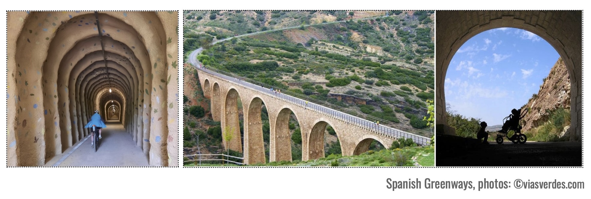
Since 1993, thousands of kilometers of former rail corridors have been converted into safe, traffic-free paths that connect nature, cultural heritage, and local communities. Today, Spain has around 3,600 km of Greenways across 143 routes, with more than 150 restored stations. The program, managed by the Spanish Railways Foundation, has received numerous international awards for sustainability, accessibility, heritage conservation, and tourism innovation.
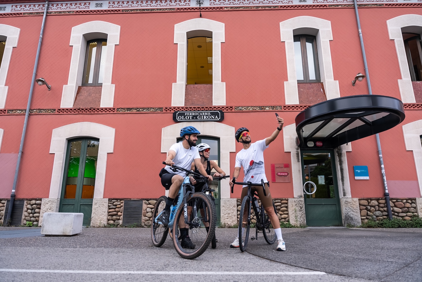
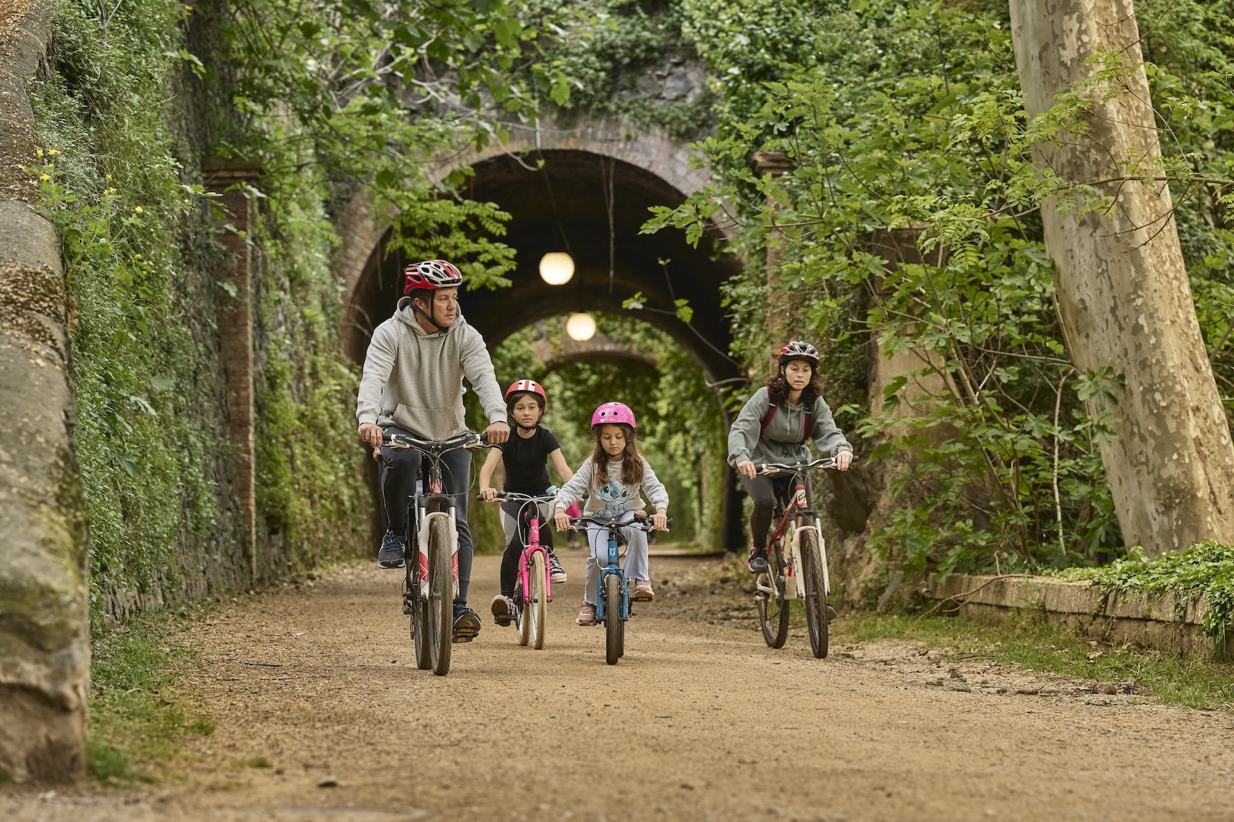
- Among the earliest and most iconic railway-to-trail conversions in Spain is the 160 km network of Greenways Vies Verdes de Girona in Catalonia, which connects the Pyrenees to the Costa Brava.
Its origins lie in the historic “carrilets” (narrow-gauge railways). In the late 19th century, private industrial entrepreneurs—supported by engineers and local communities—developed these so-called “cheap trains” to improve the transport of goods and access to ports, marking an important step in regional industrial development. Today, these former railway lines—once vital links between communities—have been beautifully restored and transformed into Greenways.
Andalucía has a network of 25 Greenways totaling over 800 km, showcasing diverse landscapes and providing a direct connection with nature, history, and local heritage.
- The longest route is the Vía Verde del Aceite, a 128 km greenway between Córdoba and Jaén, which follows the former “Tren del Aceite” (Olive Oil Train).
The route passes through extensive olive groves, rolling countryside, and the Sierras Subbéticas, as well as numerous towns along the way. It features impressive 19th-century engineering works, including 13 splendid metal railway viaducts from the Eiffel school, 3 tunnels, and 12 old railway stations. Along the greenway, you can also find local products such as wine and olive oil, labelled under the “Vía Verde del Aceite” brand.
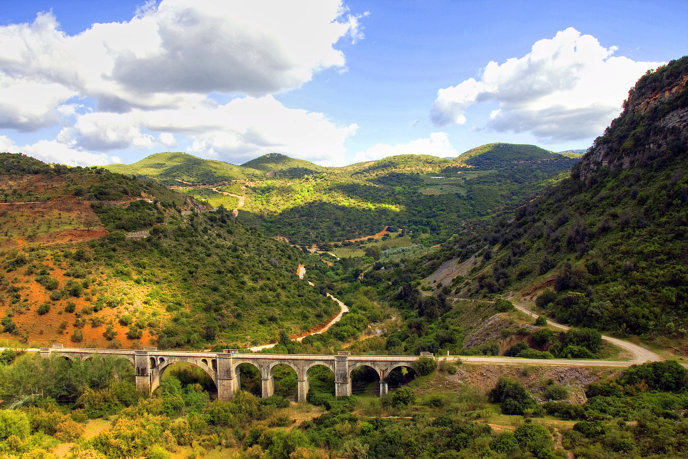
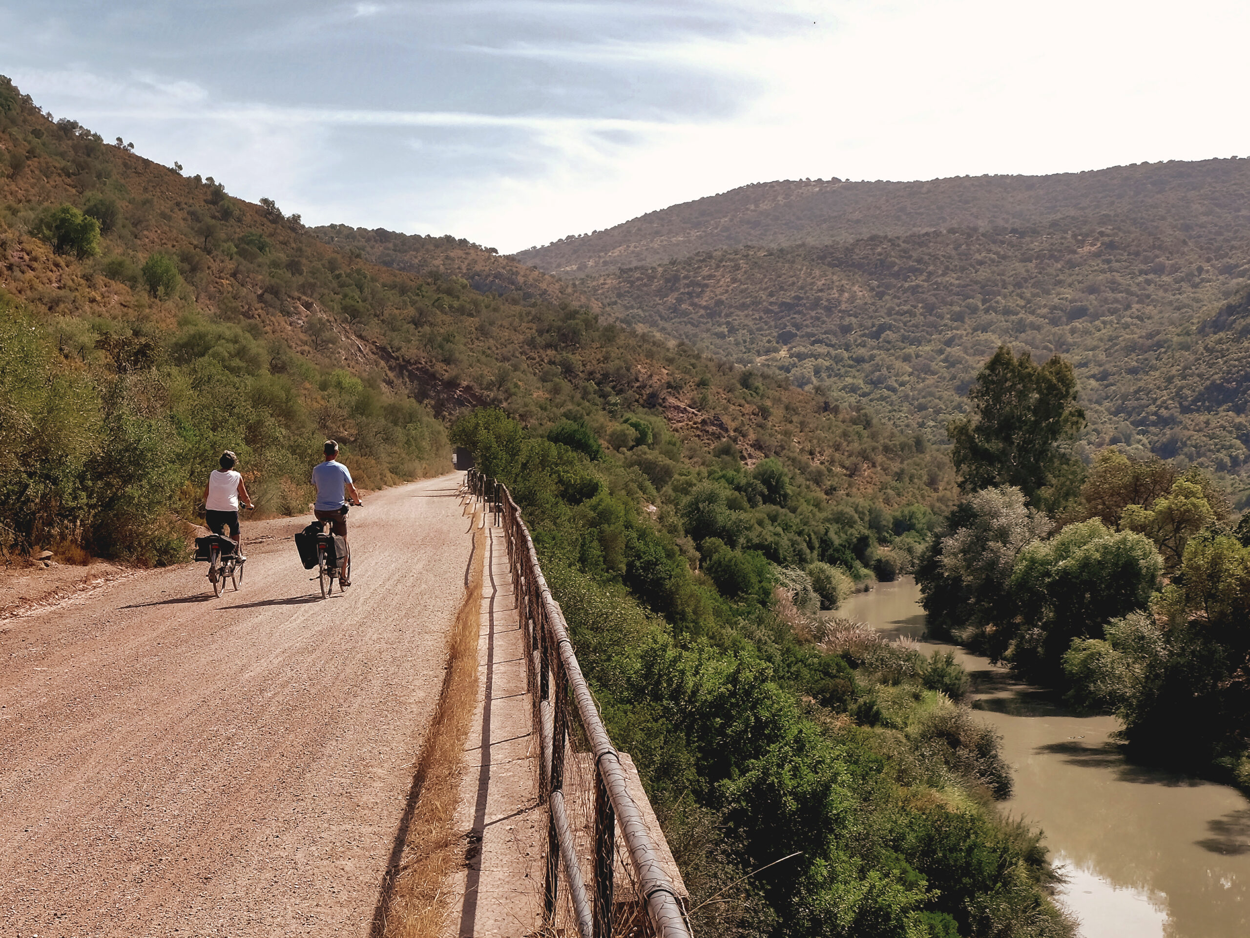
- Another famous Andalusian Greenway is the Vía Verde de la Sierra, a 36.5 km route between Cádiz and Seville.
This greenway showcases 30 railway tunnels, including the 990 m Castillo tunnel, many of which are illuminated, while others offer a darker, more atmospheric experience where wildlife such as bats can be observed. The Vía Verde de la Sierra follows a never-completed 1926 railway project and showcases over 300 engineering structures along its length, including four remarkable stone viaducts built in the 1930s.
The Greenways in the Basque Country and Navarra are beautiful examples of industrial heritage interpretation, with 10 Greenways and approximately 180 km of disused railway lines transformed into scenic, accessible trails for walking and cycling.
- The Montes de Hierro Greenway (Iron Mountains Greenway, Burdinmendi in Basque) is a living testimony to the industrial mining heritage of Bizkaia (Basque Country, Spain), an economic engine of the Industrial Revolution, transformed into a safe route for sustainable mobility that combines rich heritage with natural beauty.
It is a 39 km route that links inland valleys with the coast, passing through forests, rural landscapes, tunnels, and industrial remains related to the region’s iron mining history. The Greenway is complemented by an additional 20 km connection to Bilbao, a European capital of art and a vibrant cultural destination in northern Spain.
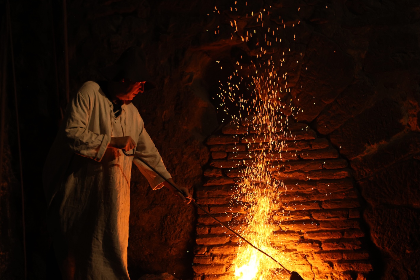
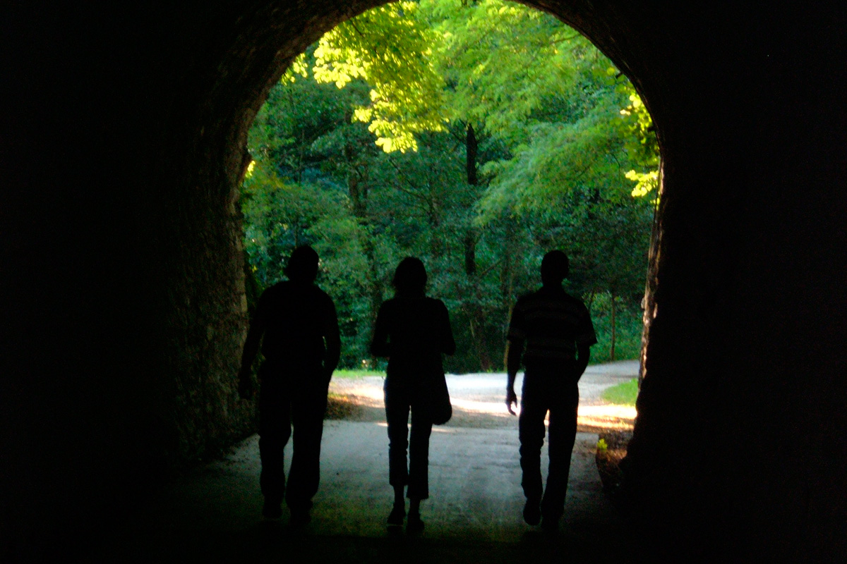
- You cannot miss the Plazaola Greenway in Navarra, a former narrow-gauge railway converted into a scenic 78 km route for walking and cycling that runs through lush forests, mountain landscapes, and valleys between Pamplona and the Basque Country, forming a peaceful corridor with strong natural and industrial heritage value.
It is especially known for its 53 tunnels – including the 2.7 km Uitzi tunnel, the longest greenway tunnel in Europe – and its well-preserved railway infrastructure, such as bridges and stations, offering a continuous journey through the Larraun and Leitzaran valleys, rich in both natural and cultural heritage.
- Another famous Greenway is the Vasco-Navarro Railway Greenway, a 125.5 km route between Estella-Lizarra and Bergara/Oñati, passing through Vitoria-Gasteiz, the vibrant capital of the Basque Country, known as one of Europe’s greenest cities.
Known as “El Trenico,” this route crosses the mountains and rural plains of Álava. The route presents rich cultural and railway heritage, including the Arquijas Viaduct and the 1.4 km-long Acedo Tunnel.
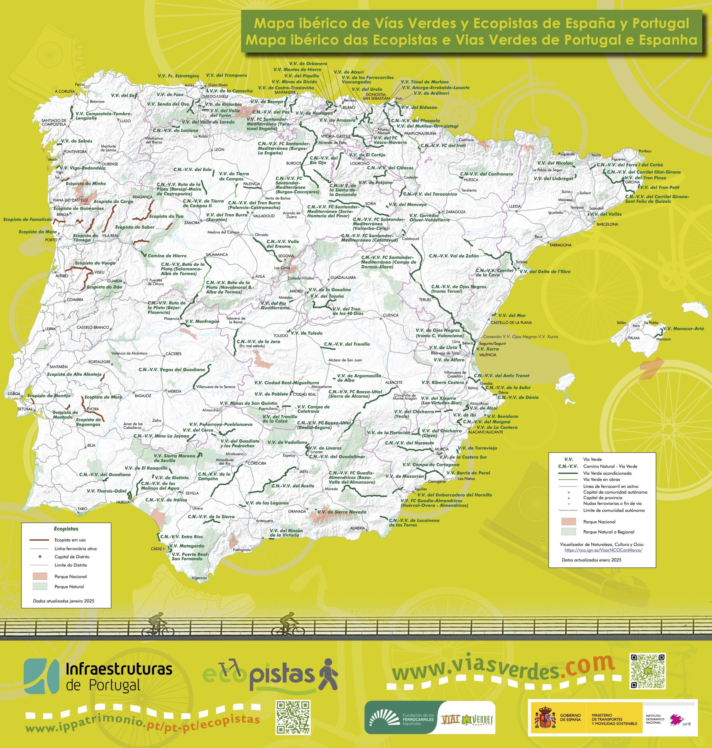
Read about Greenways in Spain and Portugal at the VisitEurope.com webpage.
PORTUGAL
Portugal’s greenways, known as Ecopistas, are peaceful, scenic, heritage-rich trails that transform former railway lines into long-distance routes for slow and sustainable travel across the country. They are exemplary initiatives that demonstrate how disused infrastructure can be repurposed for sustainable mobility and ecotourism while preserving railway heritage, including historic stations decorated with beautiful azulejos – traditional painted ceramic tiles – as well as bridges, tunnels, and rural landscapes. The network comprises 15 greenways across 20 former railway lines, totalling 518 km currently in operation, and is organized within the scope of the National Ecopistas Programme of IP Património.
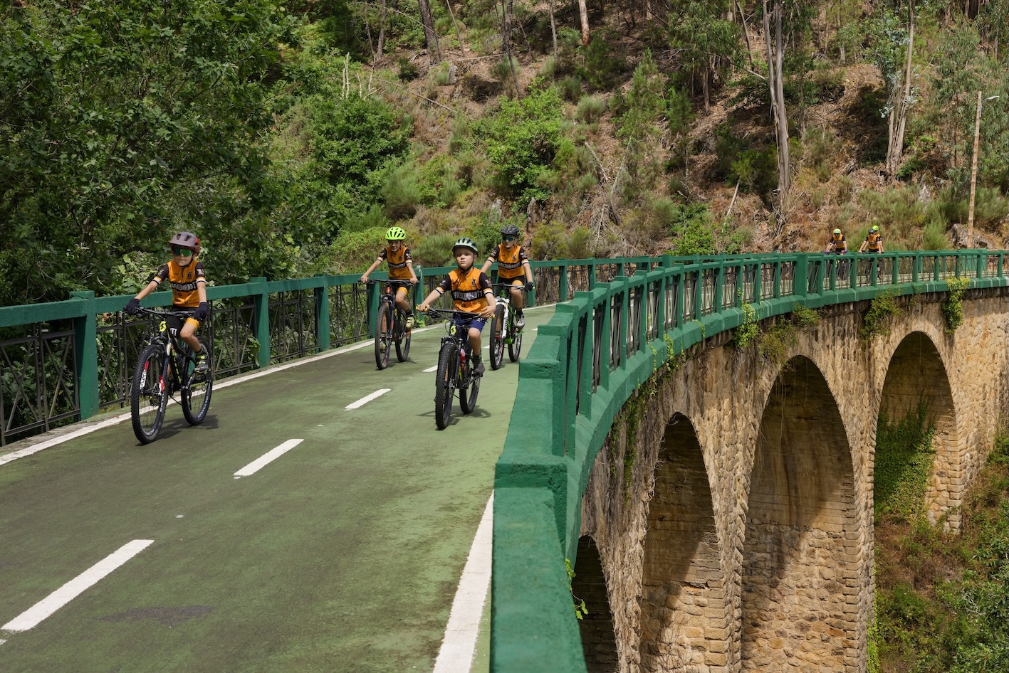
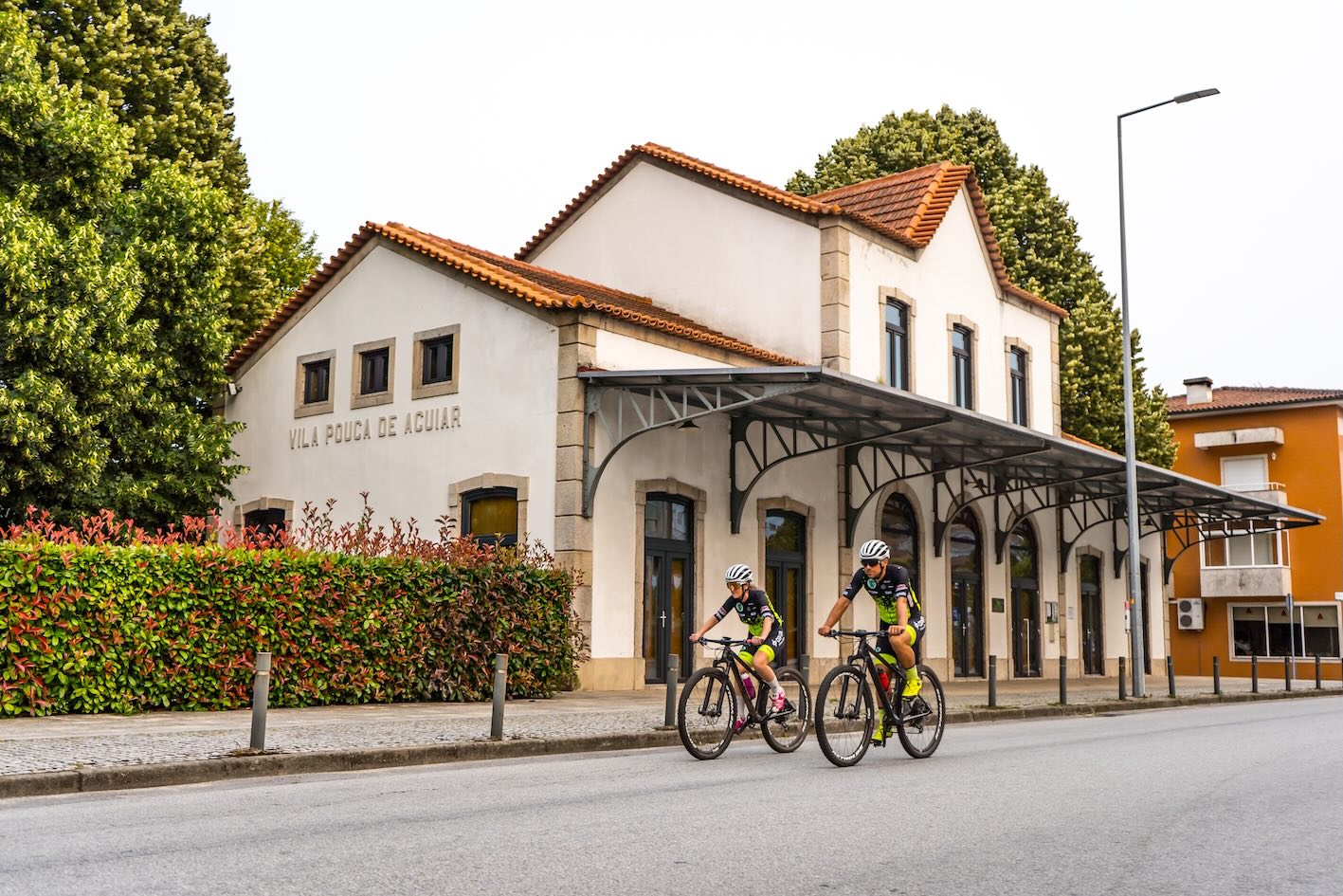
In Northern Portugal definitely worth exploring is the International Tâmega and Corgo Greenway, a 55 km ecopista created along the former railway line completed in 1921 to connect Vila Real to Régua. Originally, the railway provided access to the thermal spas of Vidago and Pedras Salgadas. Along the greenway, ecotourists can enjoy magnificent railway heritage, renovated old train stations in Vila Real and Vila Pouca de Aguiar as well as peaceful rural landscapes by bicycle, on foot, or on horseback, surrounded by avenues of oak and chestnut trees, while vineyards and fruit trees shape the scenery. In addition to its railway heritage, the route highlights the towns of Pedras Salgadas, Vidago, and Chaves, all famous for their thermal waters.
Another stunning example is the Ecopista do Minho, which follows part of the former Minho railway line connecting the historic towns of Valença and Monção. Valença is home to the impressive 17th-century star-shaped fortress, the Fortaleza de Valença, while Monção is known as the birthplace of Alvarinho wine and for its rich history as a fortified border town with Spain, as well as its thermal spas. The Ecopista runs along the Minho River valley, offering approximately 15 kilometres of accessible trail through riverside landscapes, vineyards, and rural areas characteristic of the Minho region.
Central Portugal is known for the Ecopista do Vouga, about 76 km long, which follows a former railway line through forests, valleys, small towns, and historic railway structures, offering a continuous and accessible route for cyclists and walkers. This greenway follows the route of the former Viseu branch line between Sernada do Vouga and Viseu in the Vouga River valley crossing the magnificent landscapes of the municipalities of Viseu, São Pedro do Sul, Vouzela and Oliveira de Frades. Along the route, there are numerous engineering works to cross, such as tunnels and the historic Vouzela Bridge and Poço de Santiago Bridge.
Another popular greenway in Central Portugal is the Ecopista do Dão, a 49-kilometre greenway running between the cities of Viseu and Santa Comba Dão. It follows the former Dão railway line and passes through a diverse landscape of forests, vineyards, rivers, and rural villages. The route is one of Portugal’s most popular cycling and walking paths, offering scenic views, tunnels, bridges, and rest areas along the way.
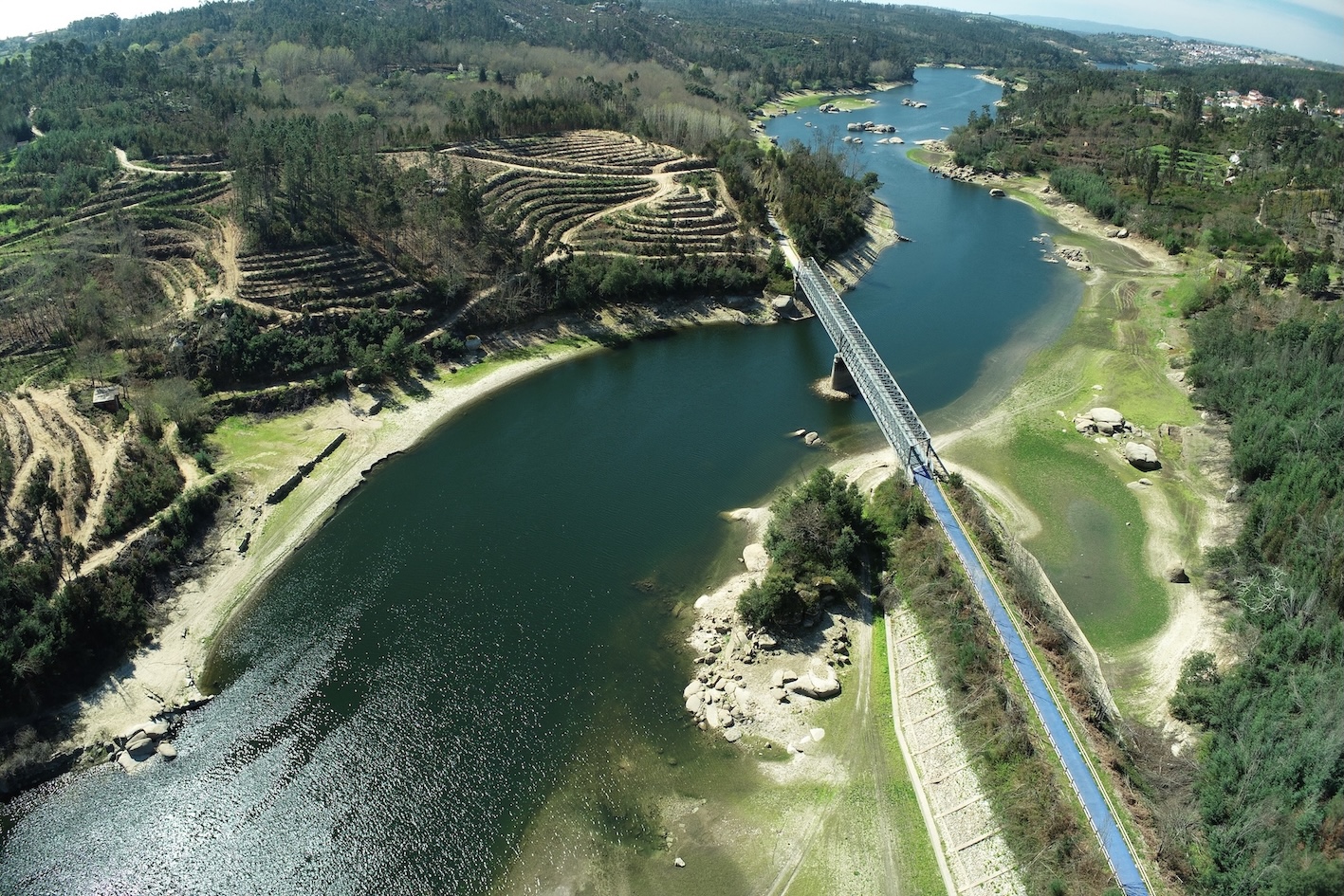
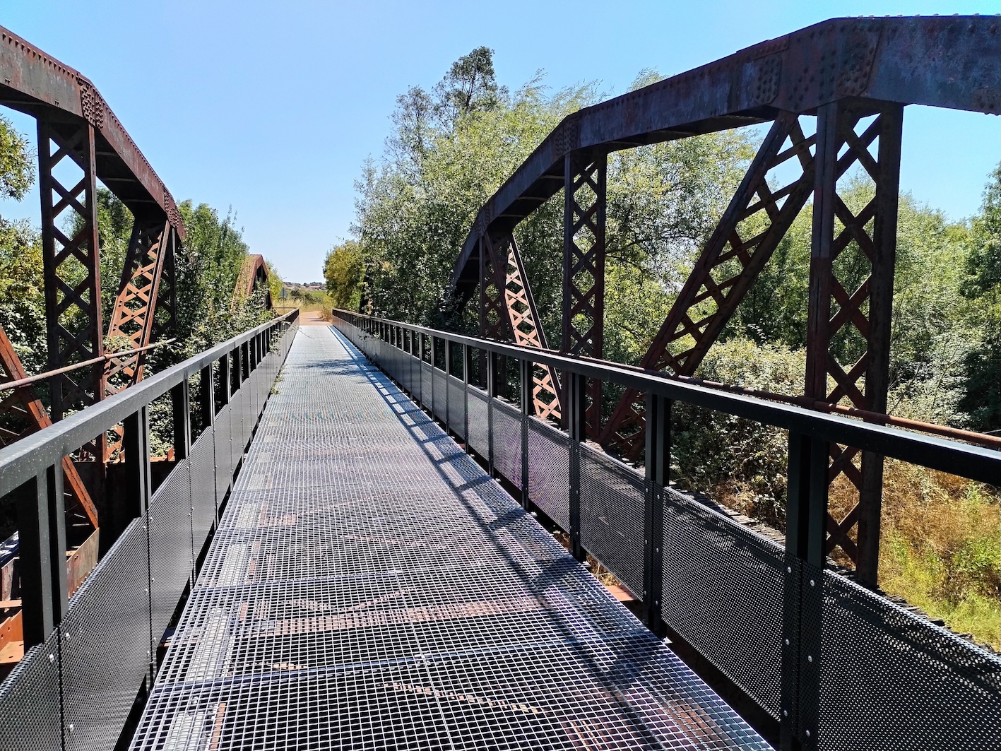
You cannot miss a visit in the region of Alentejo Central, characterized by rolling plains, cork oak forests, vineyards and olive groves. It is a patchwork of rustic whitewashed villages with authentic rural life, traditional gastronomy and characteristic landscape of the Grande Rota do Montado. The montado is a traditional, human-shaped ecosystem integrating agricultural crops, livestock grazing, and forestry and featuring low-density, savannah-like evergreen oak forests, recognized as a “biodiversity sanctuary”.
Ecopista de Reguengos is almost 42. kilometre greenway route running from UNESCO-listed Évora to Reguengos de Monsaraz, rich in cultural heritage. You will pass through olive orchards, picturesque vine fields, cork oak forests, and riverside vegetation. Wildlife commonly seen along the trail includes swallows, owls, robins, partridges, hares, and rabbits.
A further beautiful greenway in the region is Ecopista de Mora, a 31-kilometre route running from Évora to Vale de Paio, developed along the former Mora railway branch. The route combines cultural heritage with nature tourism, offering visitors the chance to explore the traditional village of Arraiolos — famous for its handmade carpets — and the rural landscapes of the Alentejo plains.
Last but not least in this region is the Ecopista do Montado, a greenway that follows a former railway corridor in the municipality of Montemor-o-Novo. The 13-kilometre route runs through the characteristic “montado” landscape, offering rural scenery, local biodiversity, and elements of the region’s cultural heritage, making it part of a broader initiative to promote sustainable mobility and nature-based tourism in Alentejo.
IRELAND
The Greenways Strategy in Ireland is expanding a network of cycling and walking routes across Ireland, encouraging everyone to enjoy the great outdoors. With stunning scenic trails through the countryside and along the coast, Ireland’s greenways offer endless opportunities for adventure and a wide range of activities for visitors of all ages and abilities. Fáilte Ireland supports the implementation of the National Greenways Strategy, promotes Ireland’s greenways, and collects visitor data. It has also developed the Greenways Visitor Experience & Interpretation Toolkit, which provides practical guidance for creating high-quality visitor experiences along greenways.
Visitors can enjoy spectacular scenery, high-quality infrastructure, and welcoming local communities. A coordinated public–private effort has helped create world-class greenways that serve both as recreational amenities and sustainable tourism attractions, complemented by convenient bike rental services that make these accessible routes easy to explore. Many of Ireland’s most popular greenways have been developed along former disused railway lines.
Read about the Irish Greenways at the VisitEurope.com webpage.
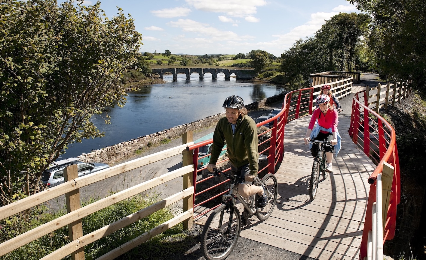
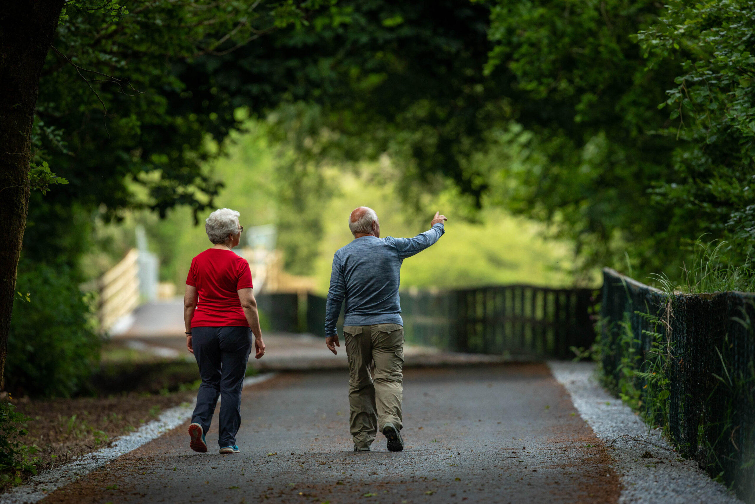
The Great Western Greenway is a scenic 49 km route that follows the eastern and northern shores of Clew Bay in County Mayo. Today, more than a quarter of a million people use the Great Western Greenway each year, attracted by its traffic-free natural environment and the ever-changing, spectacular views of Mayo’s mountains, bogs, farmland, and dramatic Atlantic coastline.
Located in west Limerick, the Limerick Greenway offers a journey through the region’s rich built and natural heritage, passing through picturesque countryside and charming villages. Along the route, visitors can discover Norman castles, abbeys, medieval ruins, former workhouses, famine graveyards, abandoned railway stations, a spectacular viaduct, and breathtaking scenery.
The Waterford Greenway (Waterford County Council) is a 46 km traffic-free route stretching from the historic city of Waterford to the beautiful seaside town of Dungarvan in western County Waterford. Set against the dramatic backdrop of the Comeragh Mountains, the Greenway offers a breathtaking journey across eleven bridges and three viaducts, through a 400-metre-long tunnel, along the lush banks of the River Suir, and all the way to the scalloped beaches of Waterford’s renowned Copper Coast.
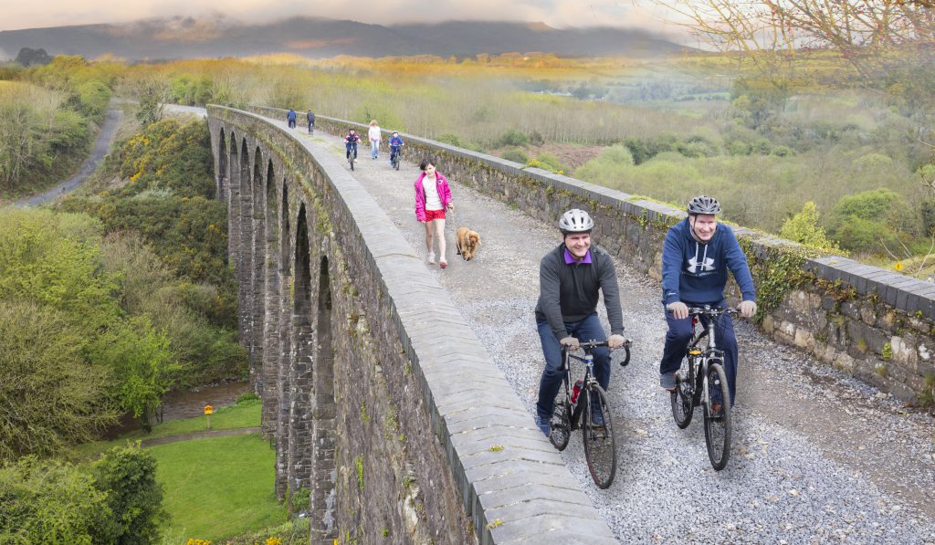
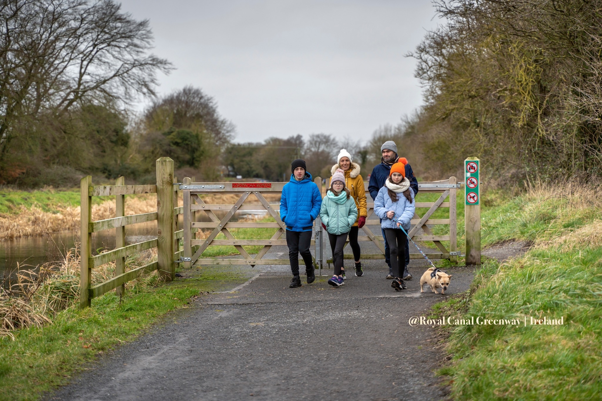
At 130 km, the Royal Canal Greenway is the longest off-road greenway in Ireland. The route follows the towpath of the Royal Canal, which was constructed between Dublin and Longford at the turn of the 18th century to connect the River Liffey with the River Shannon. It runs along grassy towpaths, gravel paths, and, in some sections, tarmac canal-side roads, starting in the Dublin suburb of Ashtown and continuing for 105 km to the village of Cloondara in County Longford.
United Kingdom
In the United Kingdom, greenways are primarily understood as traffic-free routes for walking, cycling, and active travel. Many have been created by converting former railway lines, canal towpaths, and riverside corridors. Supported by organisations such as the Walk Wheel Cycle Trust and local authorities, UK greenways contribute to sustainable transport, outdoor recreation, heritage conservation, and local tourism development.
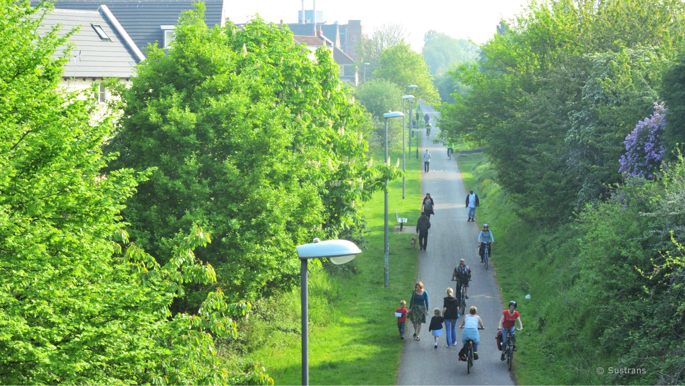
Notable examples include the Bristol–Bath Railway Path, the Camel Trail in Cornwall, and sections of the National Cycle Network such as for example:
Route 4 – Thames Valley and south coast connections
Route 5 – West Midlands to Wales
Route 6 – The West Midlands and Greater Manchester
Route 7 – Lochs and Glens route in Scotland
Route 72 – Hadrian’s Cycleway
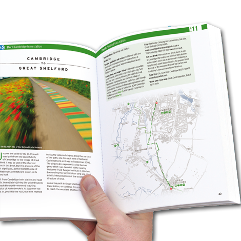
The Walk Wheel Cycle Trust (former Sustrans) is best known as the custodian of the National Cycle Network, a nationwide system of more than 12,000 miles (20,000 km) of signed routes connecting cities, towns, and rural areas across the UK. Much of the network consists of traffic-free paths, including many converted former railway lines, which provide safe spaces for walking, wheeling, and cycling. The organization also works to improve existing routes and create more accessible infrastructure for people of all ages and abilities.
The online maps of the NCN is a great tool to find out excellent information about the routes in the UK. The organization also offers many publications – maps and guides.
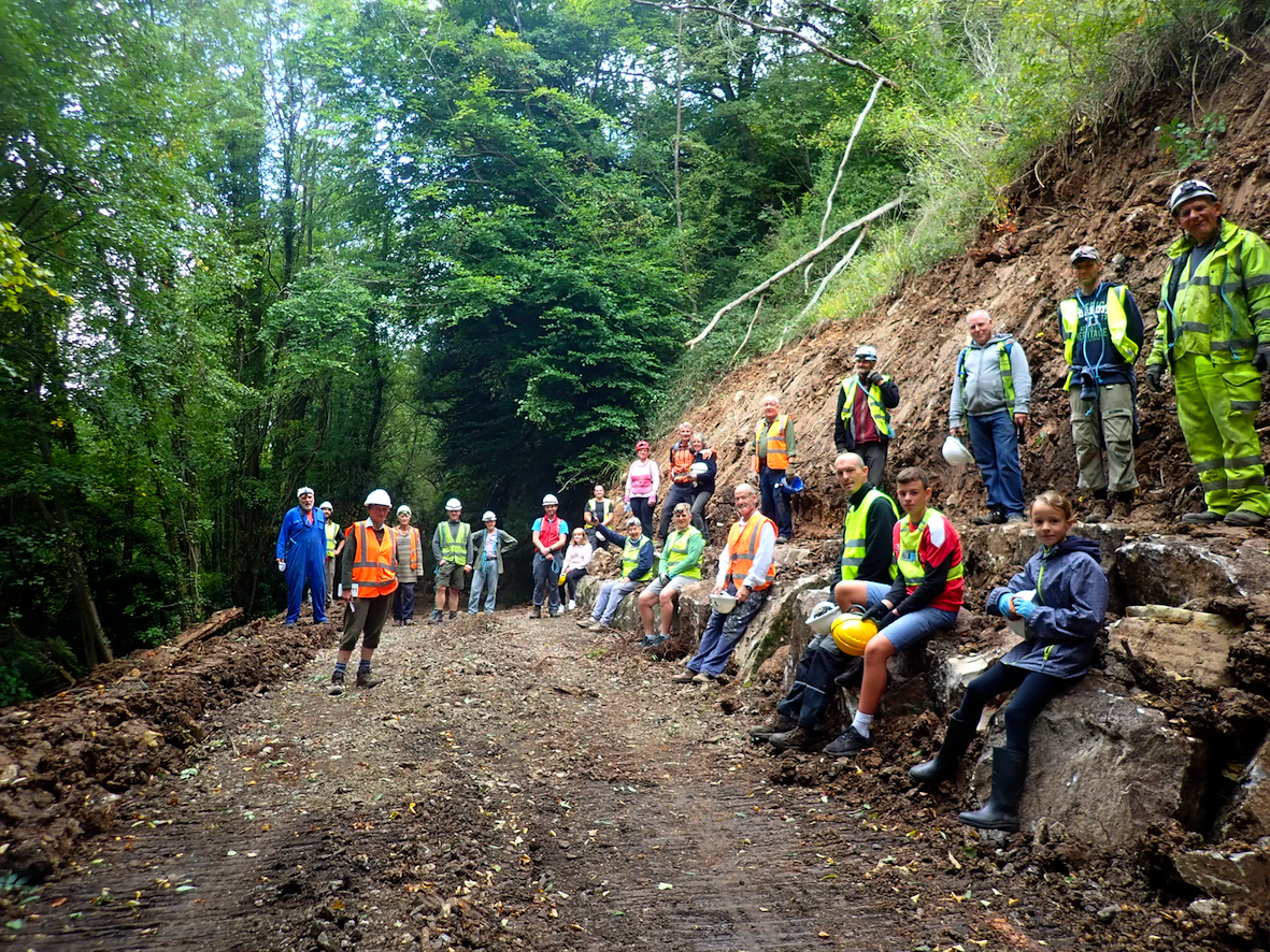
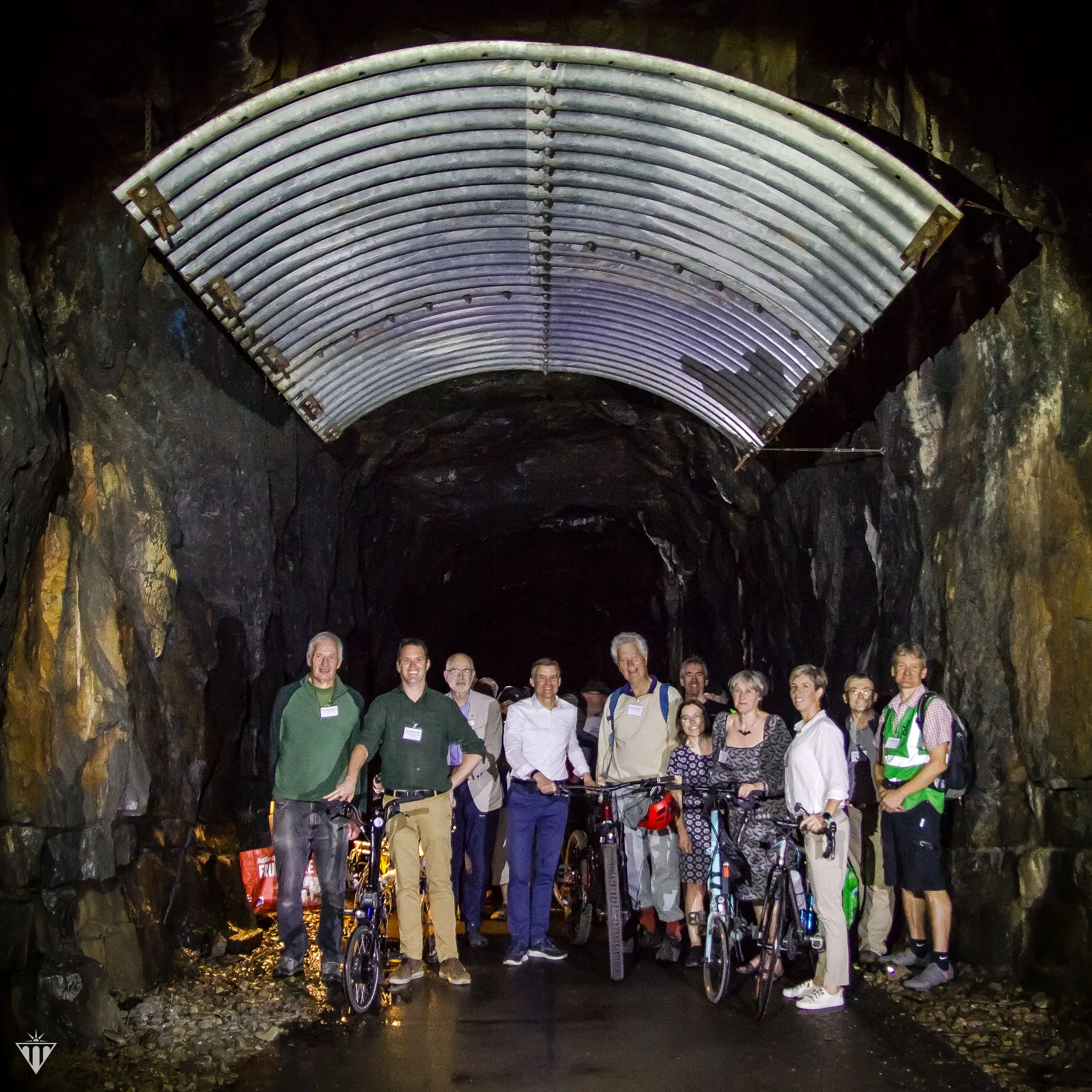
The important role in involvement of the local communities in greenways development plays the Greenways and Cycleroutes Ltd, a UK charitable community benefit society established in 2016 to help local communities develop and maintain walking and cycling routes, particularly where projects face funding or land access challenges. Building on more than 40 years of experience that began with the creation of the Bristol and Bath Railway Path and later the National Cycle Network, the organisation works with volunteers, local authorities, and landowners to design, fund, construct, and maintain accessible greenways, fostering long-term community stewardship and sustainable active travel. Greenways and Cycleroutes organizes annual volunteer workcamps that bring together people of all ages to help build and maintain walking and cycling routes, particularly along former railway corridors. Volunteers participate in practical tasks such as constructing bridges, restoring tunnels and viaducts, clearing vegetation, installing fencing, and maintaining completed routes, while camping together and working alongside local communities. This hands-on approach not only reduces construction costs but also builds local stewardship, giving communities the skills and commitment needed to care for the greenways over the long term.
FRANCE
France has developed one of Europe’s largest greenway and cycle route networks, comprising more than 27,000 km of national, regional, and local routes. Much of this network consists of traffic-free greenways created along former railway lines, canal towpaths, and river corridors, while other sections use low-traffic rural roads. These routes form part of the national Schéma national des véloroutes and include internationally recognised itineraries such as La Loire à Vélo, ViaRhôna, La Vélodyssée, and the Avenue Verte London–Paris.
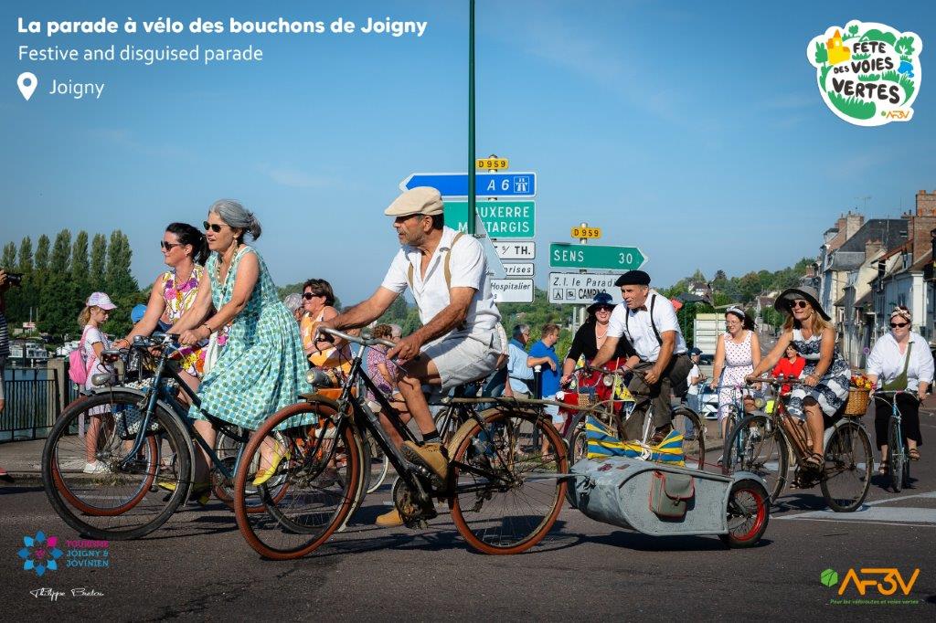
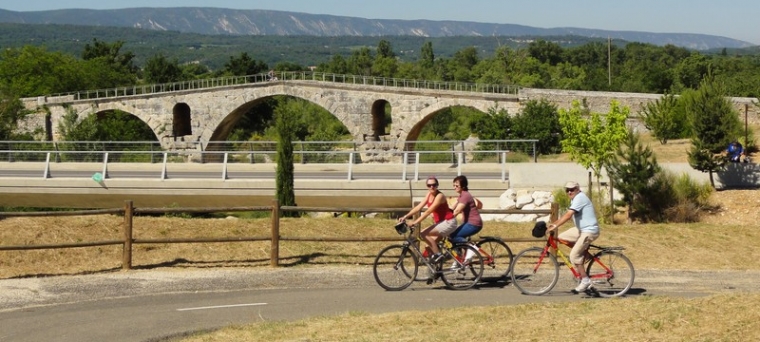
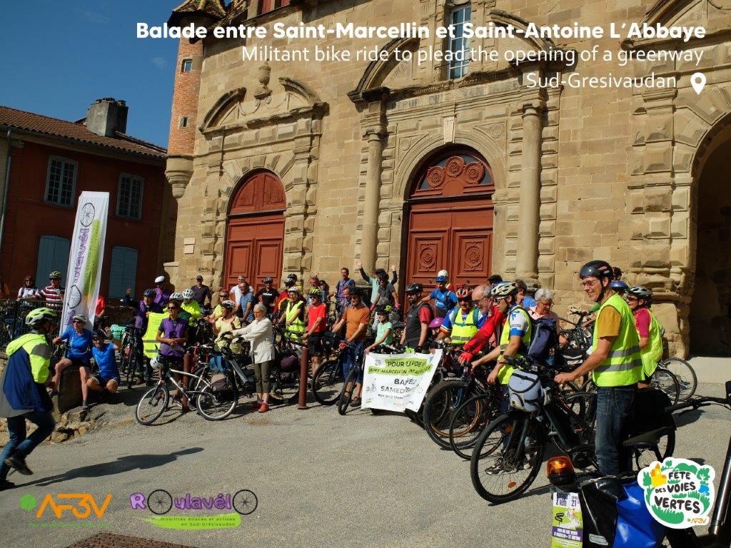
The French Association for the Promotion of Cycle Routes and Greenways (AF3V) is the leading non-governmental organization promoting the development, improvement, and use of greenways (voies vertes) and cycling routes (véloroutes) in France. Founded in 1998, AF3V brings together volunteers, local associations, and experts to advocate for safe, continuous, and accessible infrastructure for walking, cycling, and other non-motorized users. La Fête des Voies Vertes is France’s annual celebration of greenways, coordinated by AF3V. Through hundreds of local events, it promotes greenways as spaces for active mobility, recreation, heritage discovery, and community engagement, while encouraging the development and use of safe, accessible walking and cycling infrastructure. Since 2025, the festival has been integrated into the national “Mai à Vélo” (Bike Month) campaign, increasing its visibility and strengthening the promotion of cycling and active travel across France. AF3V coordinates the initiative by supporting local organizers, providing communication materials, and promoting events nationwide.
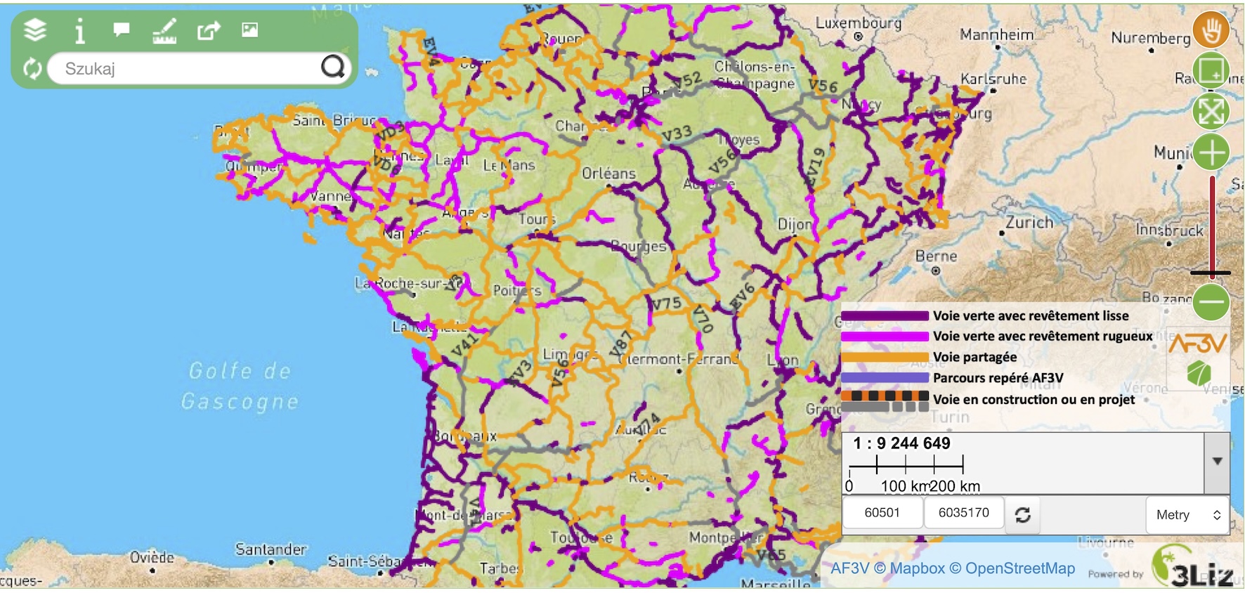
One of AF3V’s most valuable contributions is its interactive online map, which documents thousands of kilometres of greenways and cycle routes throughout France. The map provides detailed information on route surfaces, traffic conditions, accessibility, and tourist attractions, making it an essential planning tool for cyclists, walkers, planners, and local authorities.
- One of the very popular example is La Loire à Vélo, one of the most iconic cycling routes in France and one of Europe’s best-known examples of a long-distance greenway network combining active mobility, cultural heritage, nature conservation, and sustainable tourism. It follows the Loire River for approximately 900 km, from the upper Loire region near Nevers to the Atlantic coast at Saint-Brevin-les-Pins, crossing the regions of Centre-Val de Loire and Pays de la Loire.
The route is part of the European cycling network EuroVelo 6 – Atlantic–Black Sea, and it is designed for leisure cyclists, families, and cycle tourists. It consists of a combination of traffic-free greenways (voies vertes), riverside paths, and carefully selected low-traffic rural roads. La Loire à Vélo is particularly famous for linking cycling with the exceptional cultural heritage of the Loire Valley, a UNESCO World Heritage Centre listed landscape. Along the route, cyclists can discover: historic towns such as Orléans, Blois, Tours, and Angers; world-famous castles including Château de Chambord and Château de Villandry; vineyards, traditional villages, river landscapes, wetlands, and protected natural areas.
ITALY
Italy has many beautiful greenways that are well worth visiting, as well as great potential for further development. The country has approximately 7,000 km of abandoned railway lines, of which around 1,000 km have been converted into greenways.
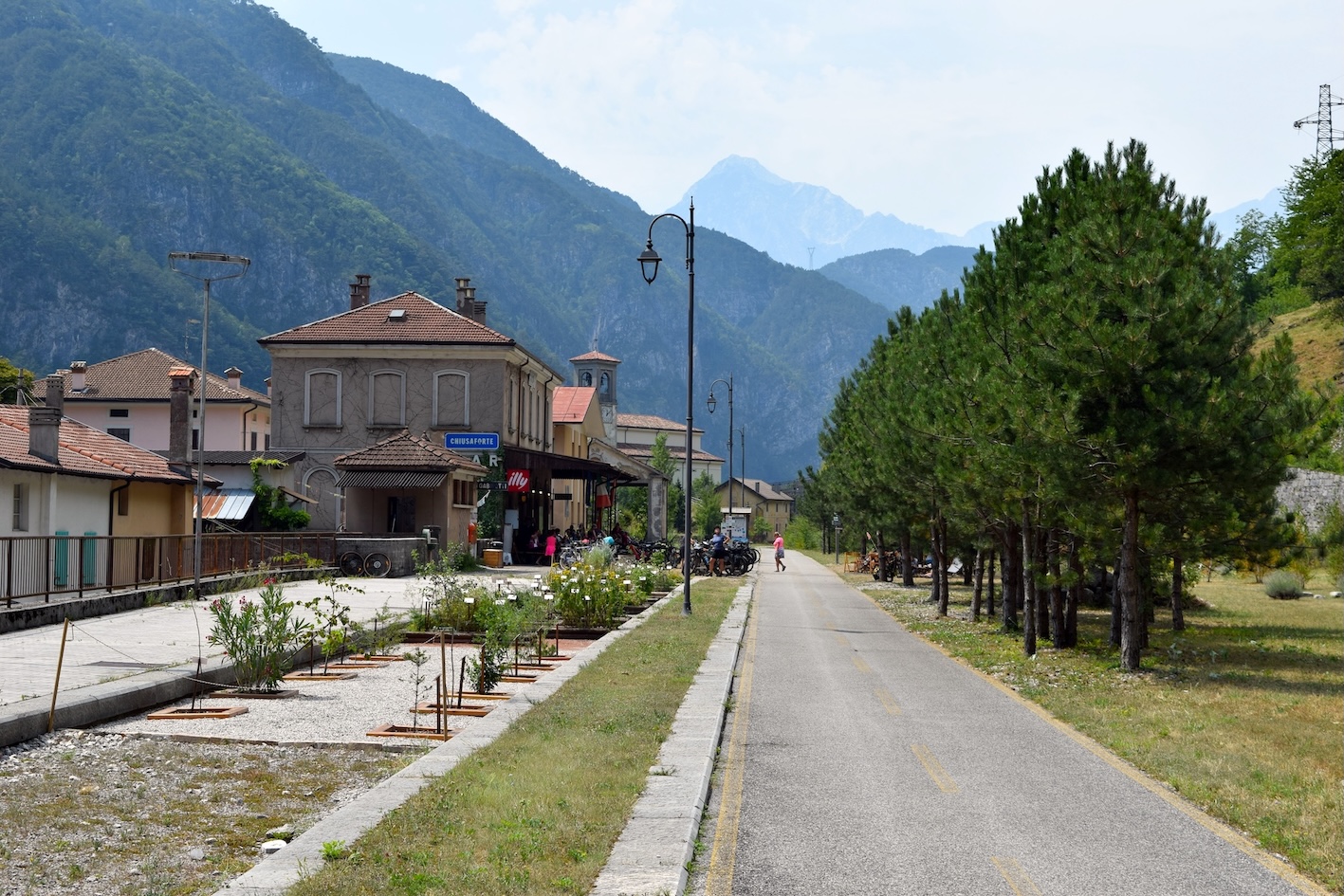
The new edition of the Atlas of Greenways on FS Railway Lines – From Disuse to Reuse, prepared by the RFI – Rete Ferroviaria Italiana with the contribution of the Italian Greenways Association, describes 32 greenways developed on former RFI/FS railway lines, covering a total of approximately 500 km. The Atlas provides practical information for planning excursions along high-quality greenways through some of Italy’s most stunning landscapes. It also presents each project from a technical perspective, showcasing best practices that can inspire local authorities to develop new greenway projects by reusing former FS Group railway corridors.
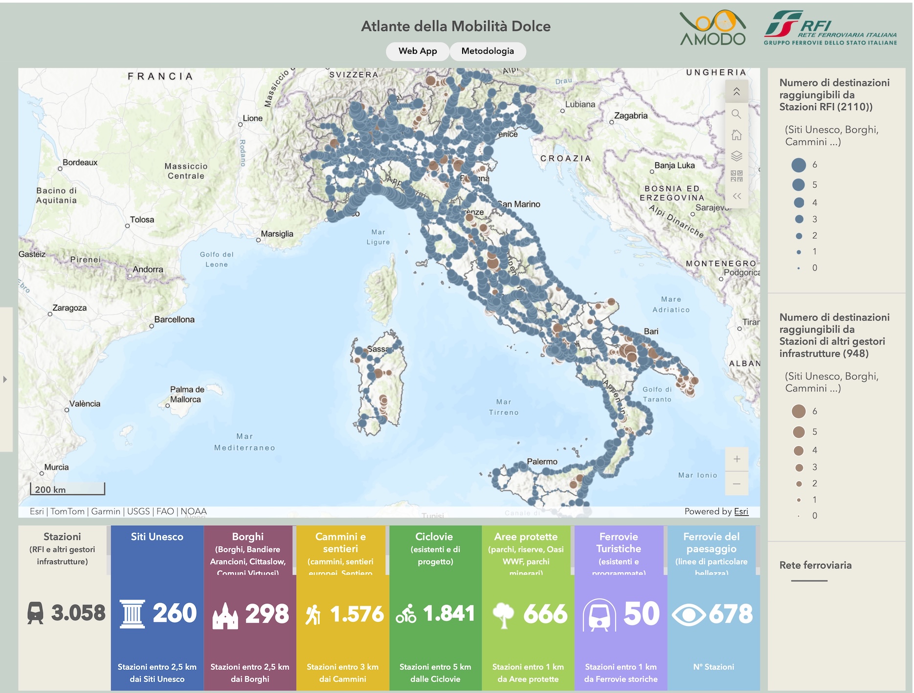
RFI promotes bike-and-rail mobility and has also published a brochure featuring attractive cycling itineraries that can be easily accessed by regional train throughout Italy. Many of these suggested routes include greenways, encouraging visitors to explore the country’s landscapes and heritage through sustainable travel. The Atlas of Soft Mobility in Italy (Atlante della Mobilità Dolce in Italia) is an interactive digital platform developed by Rete Ferroviaria Italiana (RFI) and the Alliance for Soft Mobility (AMODO) to promote sustainable tourism and active mobility by integrating railway stations with greenways, cycle routes, walking trails, tourist railways, protected areas, and cultural heritage sites across Italy. The Atlas maps more than 3,000 railway stations, 18,000 km of existing and planned greenways and cycle routes, 24,000 km of walking trails, 55 UNESCO World Heritage Sites, nearly 900 historic villages, and 1,656 protected areas, providing a strategic planning tool for travellers, local authorities, and policymakers to strengthen bike-and-rail mobility and regional development.
We highlight the following spectacular Italian greenways:
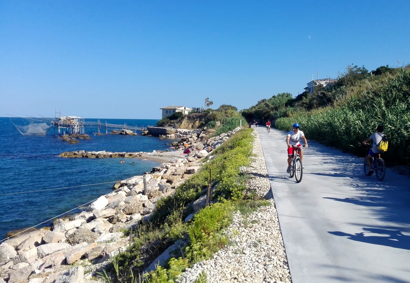
- Via Verde della Costa dei Trabocchi is one of Italy’s most scenic rail trails, created along the route of the former Adriatic railway line in the Abruzzo region. Stretching for about 42–50 km between Ortona and Vasto Marina, it offers a continuous route for cycling, walking and other forms of active mobility, with spectacular views of the Adriatic Sea.
- Alpe Adria is a cross-border cycling route linking Salzburg with Villach, Udine, Aquileia and Grado, overcomes the physical border formed by the Alps and achieves a direct connection between the network of cycling routes in central Europe and the Adriatic Sea. The route covers approximately 415 km and is typically completed in eight stages, taking cyclists from the Alps to the Mediterranean through a remarkable variety of landscapes, cultures, and cuisines.
- Lunga Via delle Dolomiti follows the route of the former Dolomites Railway, built during the First World War and decommissioned in 1964. The 49-km greenway runs from Passo Cimabanche (or Dobbiaco/Toblach, depending on the itinerary) to Calalzo di Cadore, passing through Cortina d’Ampezzo and the picturesque villages of Cadore. Surrounded by the UNESCO-listed Dolomites, the route offers spectacular mountain scenery while preserving the railway’s historic stations, tunnels, bridges, and other engineering heritage.
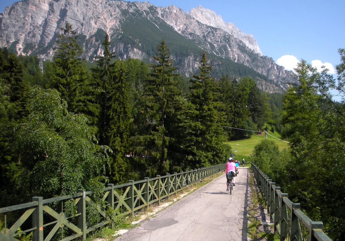
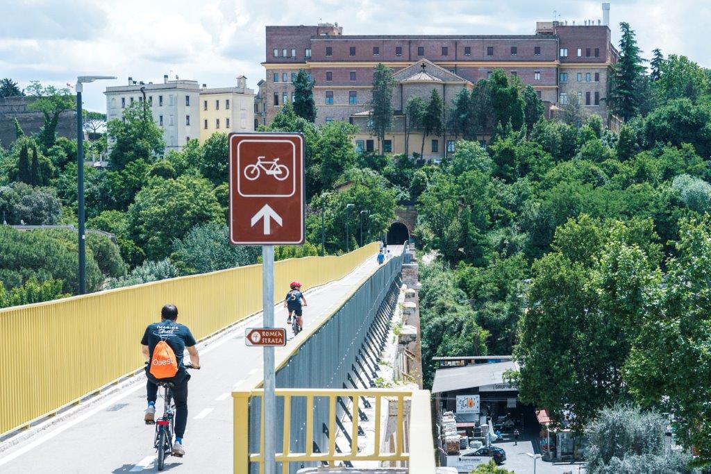
A great example of greenways in the city is the Monte Ciocci Greenway in Rome that forms part of the route of the Via Francigena, one of the three major pilgrimage routes to Rome. It connects the existing cycle path to St. Peter’s by crossing the Monte Ciocci Urban Park and traversing a disused railway bridge and tunnel before reaching the “Jasmine Walk”along the Vatican railway line.
DENMARK
Denmark has one of Europe’s most developed cycling networks, with more than 12,000 km of signposted cycle routes, including 11 national routes, numerous regional routes, and sections of the EuroVelo network. Designed for both everyday mobility and tourism, the network combines dedicated cycle paths, low-traffic roads, and traffic-calmed streets, providing safe and accessible conditions for cyclists of all ages and abilities.
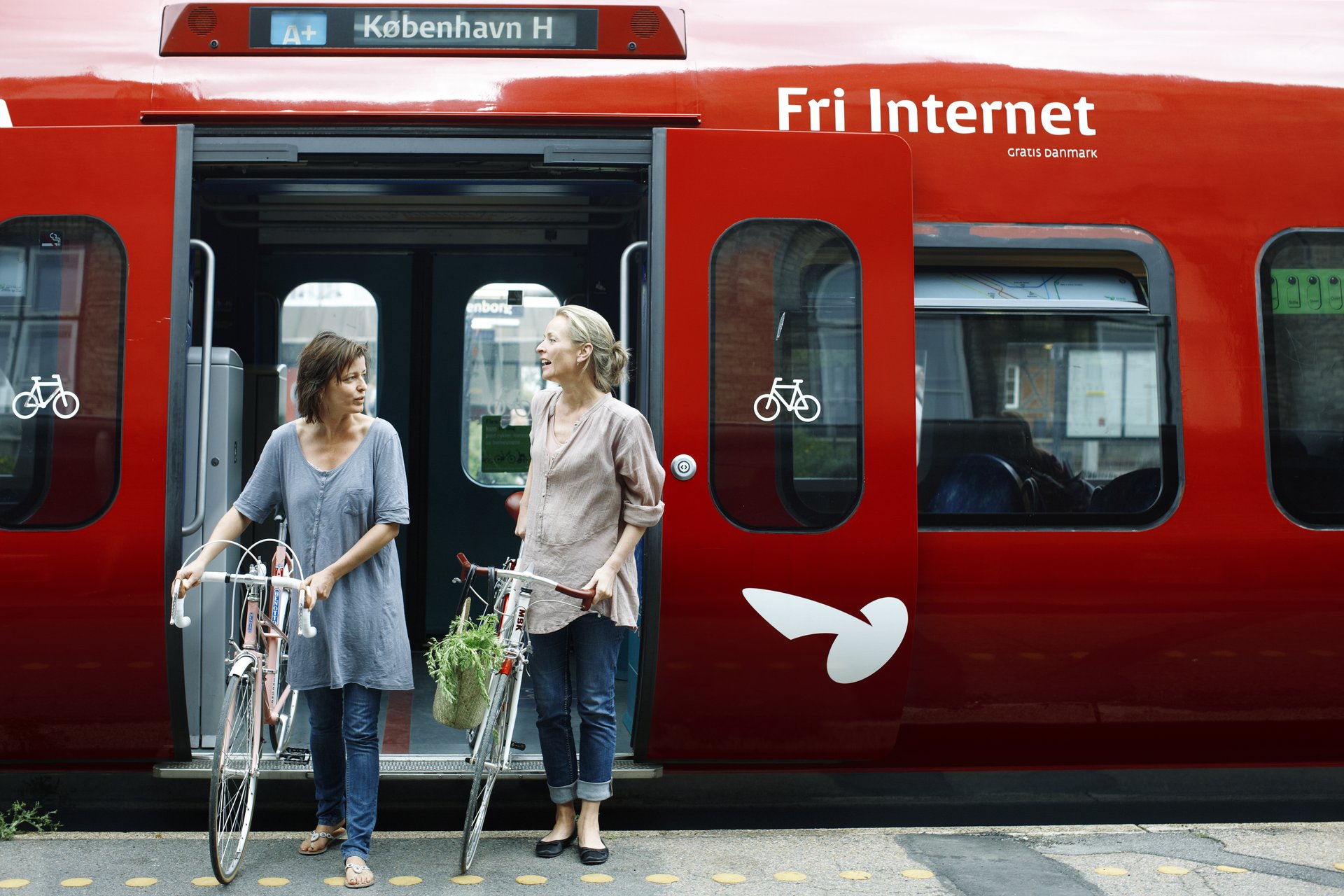
A distinctive feature of Danish cycling infrastructure is its integration with public transport. Cyclists can easily combine bike and rail travel, with bicycles permitted on most regional trains and extensive parking facilities available at railway stations. The country also offers a comprehensive network of certified Bike Friends and cyclist-friendly accommodation, repair services, and tourist information.
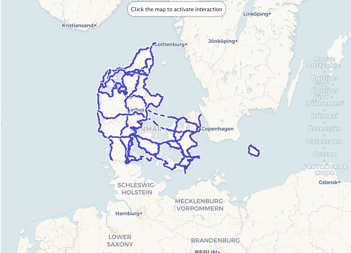
Denmark By Bike is the official route planner for cycling in Denmark, helping users discover some of the country’s best cycling routes. It features signposted national and regional routes, as well as suggested itineraries ranging from long-distance cycling holidays to shorter day trips. The platform also offers family-friendly route recommendations designed to provide fun and safe cycling experiences for children. Both routes and tour suggestions can be downloaded to GPS devices. Denmark By Bike is based on the Naviki route-planning platform, allowing users to plan and customize their own cycling itineraries.
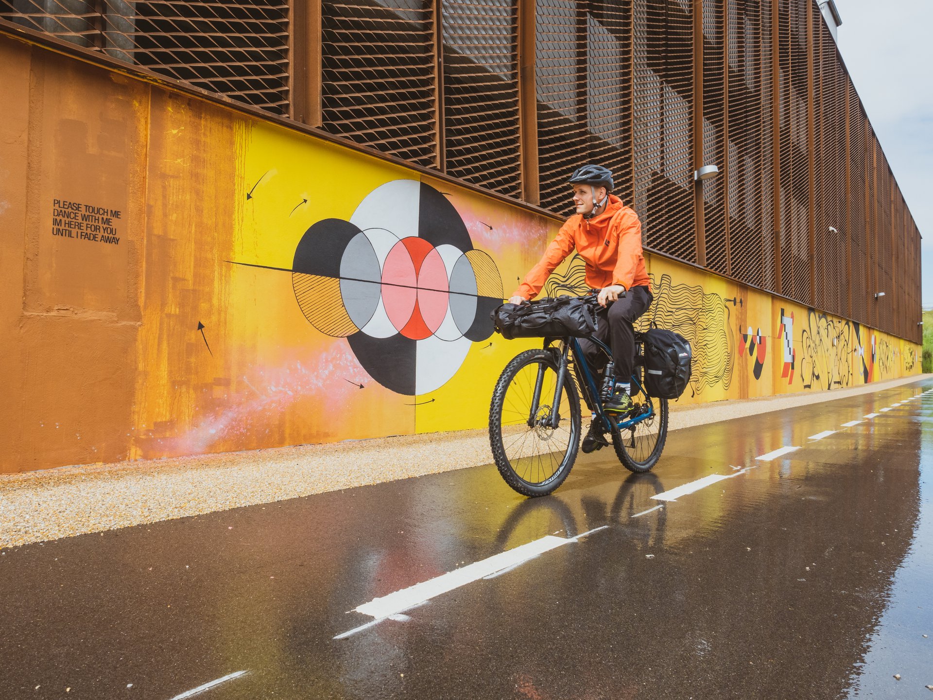
Danish Cycling Tourism – Dansk Cykelturisme is a non-profit association established in 2014 to promote and develop cycling tourism and recreational cycling throughout Denmark. It brings together municipalities, tourism destinations, public authorities, businesses, and cycling organizations to strengthen Denmark’s position as a leading cycling destination. Since 2016, Danish Cycling Tourism has served as the EuroVelo Coordination Centre for Denmark, coordinating the development, maintenance, and international promotion of Denmark’s EuroVelo routes.
Denmark has not established a dedicated national Greenways programme, but many former railway corridors have been converted into Nature Trails (Naturstier) for walking and cycling. Combined with one of Europe’s most extensive cycling networks, these routes support sustainable mobility, outdoor recreation, and nature tourism while preserving disused transport corridors.
NORWAY
Norway has developed an extensive network of approximately 4,500 km of national cycling routes, complemented by EuroVelo routes and numerous regional itineraries through some of Europe’s most spectacular natural landscapes. Rather than a dedicated greenways programme, Norway promotes cycling tourism through scenic routes, multimodal travel, and high-quality visitor information provided by the Cycle Norway initiative.
Norway’s approach focuses on low-impact, nature-based tourism. Former railway corridors are reused not only for cycling and walking but also for preserving industrial heritage and providing access to remote landscapes without increasing car traffic.
- Together with iconic routes such as Rallarvegen, these greenway-like routes combine railway heritage, outstanding natural landscapes, and sustainable tourism, illustrating how disused transport corridors can be successfully repurposed for active recreation.
Rallarvegen (The Navvies’ Road) is Norway’s iconic cycling route, a former railway construction road transformed into an 80 km recreational trail connecting Haugastøl, Finse, Myrdal, and Flåm. Combining spectacular mountain landscapes, railway heritage, and sustainable tourism, it is one of the best examples of a greenway-like route in Norway. The route is famous for its stunning mountain landscapes, including glaciers, and waterfalls.
- The Rogaland section of the North Sea Cycle Route (EuroVelo 12) is one of Norway’s flagship coastal cycling routes.
Stretching from Egersund through the Jæren coastline to Stavanger and beyond, it combines dramatic North Sea landscapes, beaches, cultural heritage sites, and rural communities, demonstrating how greenway principles can support sustainable tourism without relying solely on former railway corridors. The North Sea Cycle Route passes through Rogaland County, where visitors can enjoy a beautiful cycling or walking experience along the former railway line between Hellvik and Egersund. Although the route includes some challenging hills, it is well worth the effort, as the spectacular landscape makes every climb rewarding.
LATVIA
Latvia has been actively developing Greenways by converting former railway corridors into multi-use trails and by connecting them with existing cycling and walking routes. The country’s Greenways are promoted as sustainable tourism corridors that combine nature, cultural heritage, and active mobility, while also strengthening cross-border links with Estonia and Lithuania.
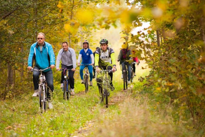
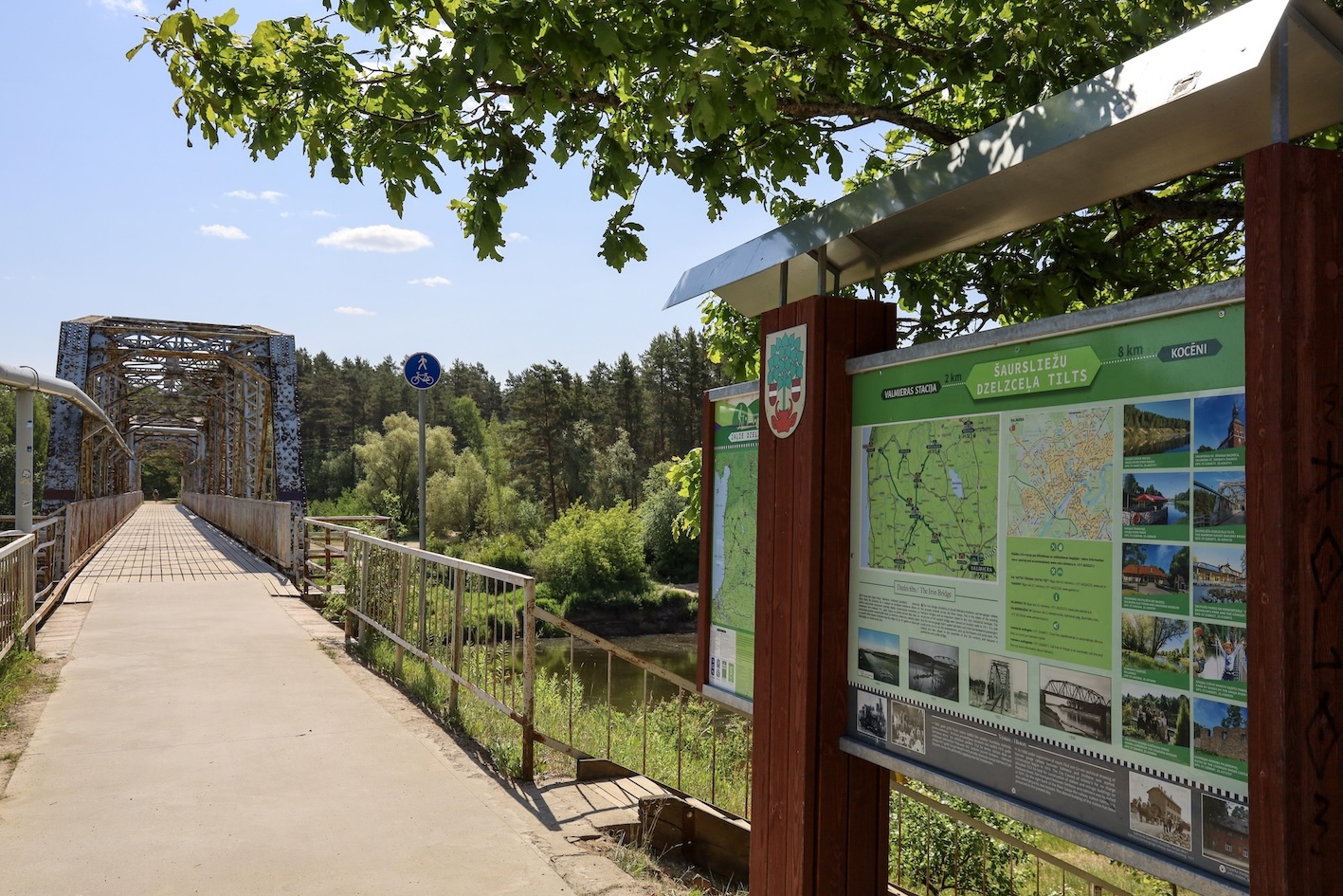
A flagship initiative is the Green Railways project, implemented under the Interreg Estonia–Latvia Programme, which has transformed disused railway lines into accessible greenways for walking, cycling, and other non-motorised activities. The first phase created more than 750 km of greenway routes in Estonia and Latvia, and the current Green Railways II project focuses on improving accessibility, visitor services, and inclusive tourism experiences. The Greenways projects are coordinated by the Latvian Greenways Association. The long-distance routes combine sections of classic rail-to-trail car-free greenways with routes that follow low-traffic roads.
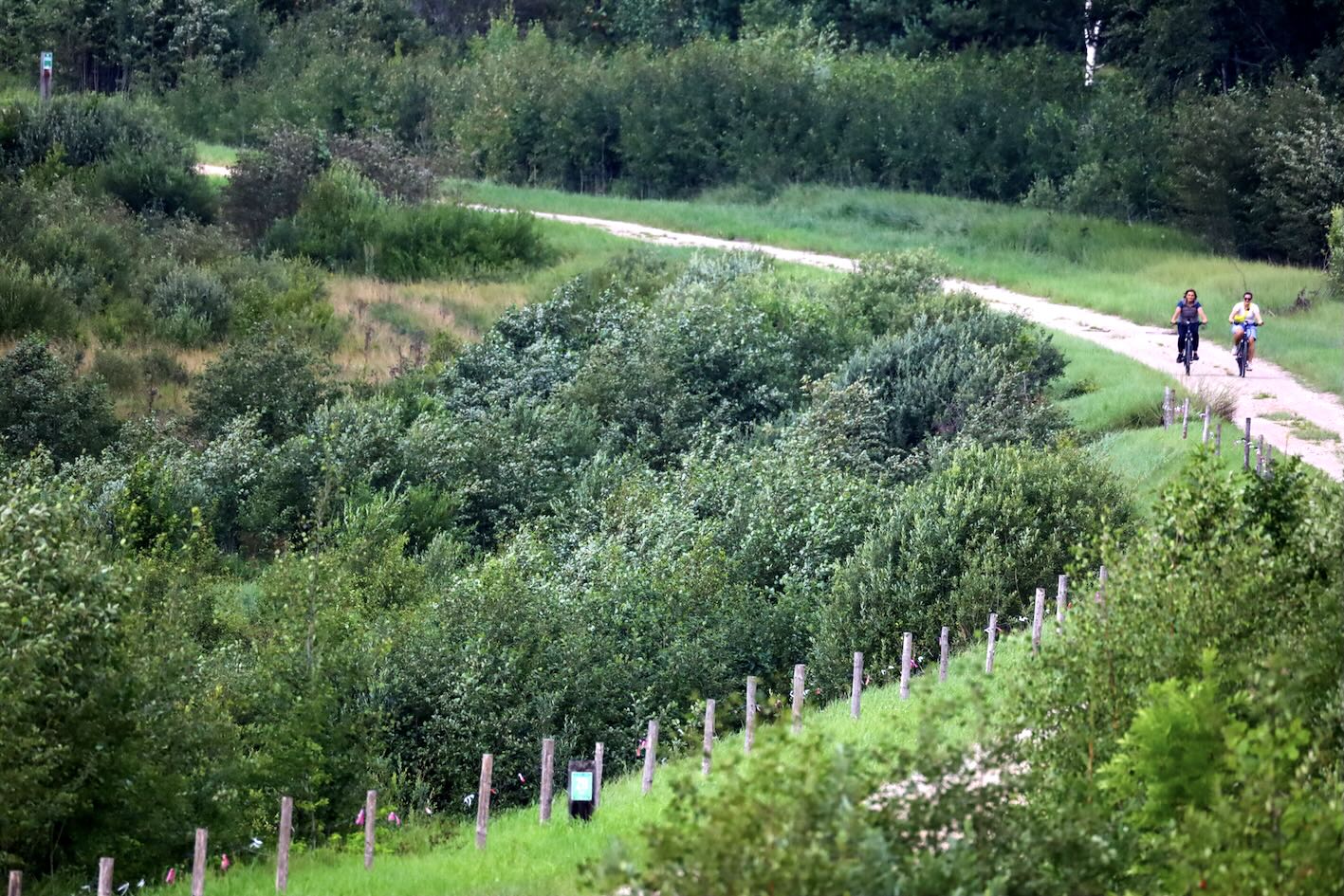
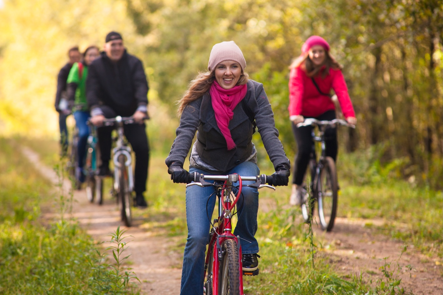
- The 24 km Rūjiena–Mõisaküla Green Railway Route follows a former broad-gauge railway line that once connected Latvia and Estonia. Today, this railway corridor has been transformed into a peaceful and scenic trail for walkers and cyclists.
The true charm of this section lies in its peaceful and unspoiled nature, a sparsely populated landscape of forests and wetlands. The route surface is mainly natural gravel, sand, and earth roads. It is an easy route suitable for cyclists and hikers, although some sections may become more challenging after rain due to sand or mud. The trail crosses seven bridges over small rivers and drainage channels and is marked with blue Green Railways signs.
- The Limbaži–Mazsalaca Greenway is a former railway route in northern Latvia, converted into a scenic cycling and walking trail of about 48 km.
The route follows mostly gravel and unpaved roads through forests, farmland, and small villages, with a flat and easy profile suitable for touring and gravel bikes. Along the way, cyclists can discover railway heritage features, information boards, and the former Puikule railway station. The route passes through quiet countryside and areas within the North Vidzeme Biosphere Reserve. It forms part of the longer Lāde–Limbaži–Mazsalaca–(Rūjiena) route (95 km) and follows the old Ainaži–Valmiera railway line.
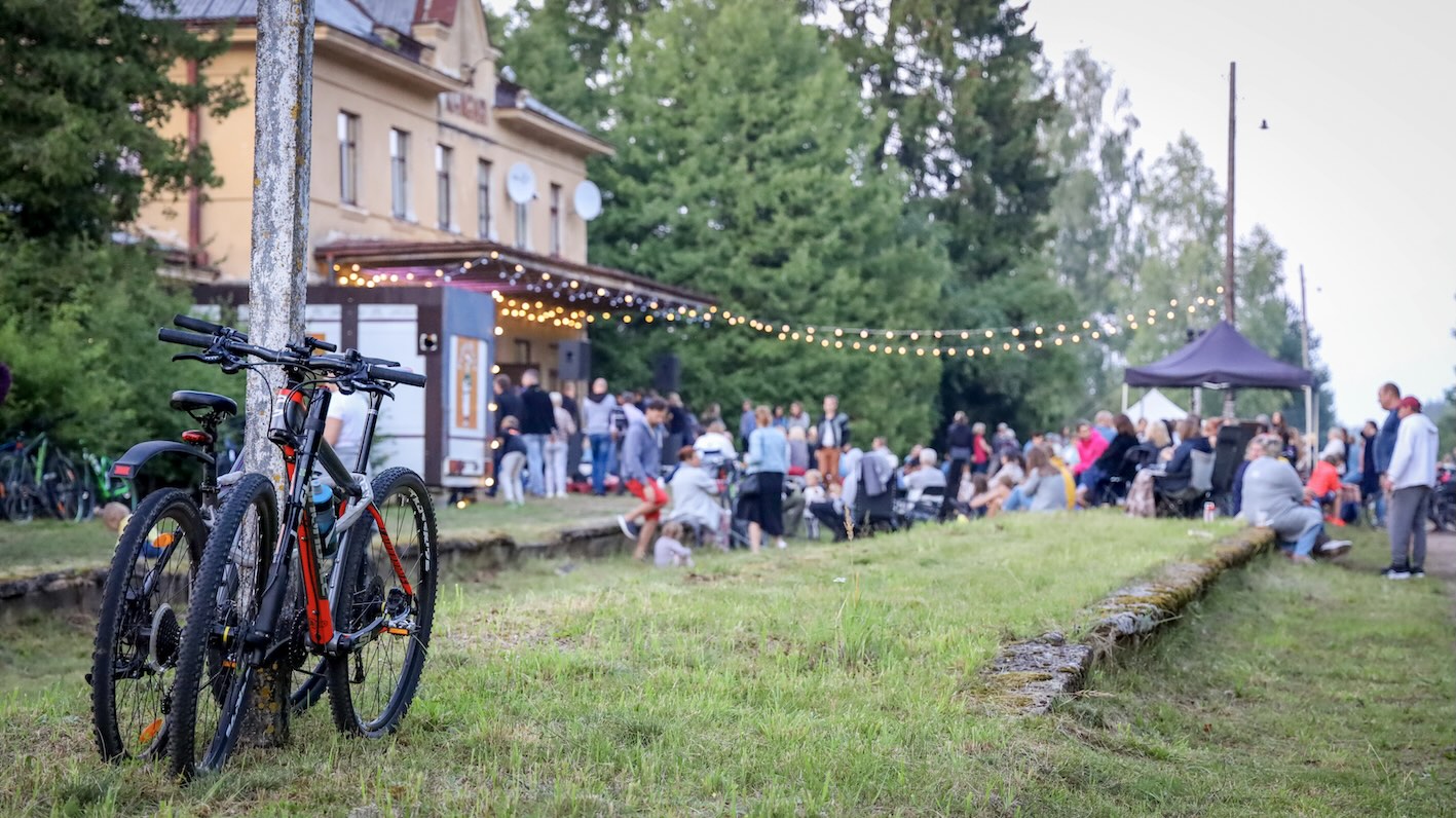
- The former Rīga–Ērgļi railway line includes a 98 km itinerary combining Greenway sections with beautiful railway heritage sites, such as the Kangari Station, built in 1937, where cultural events are also held.
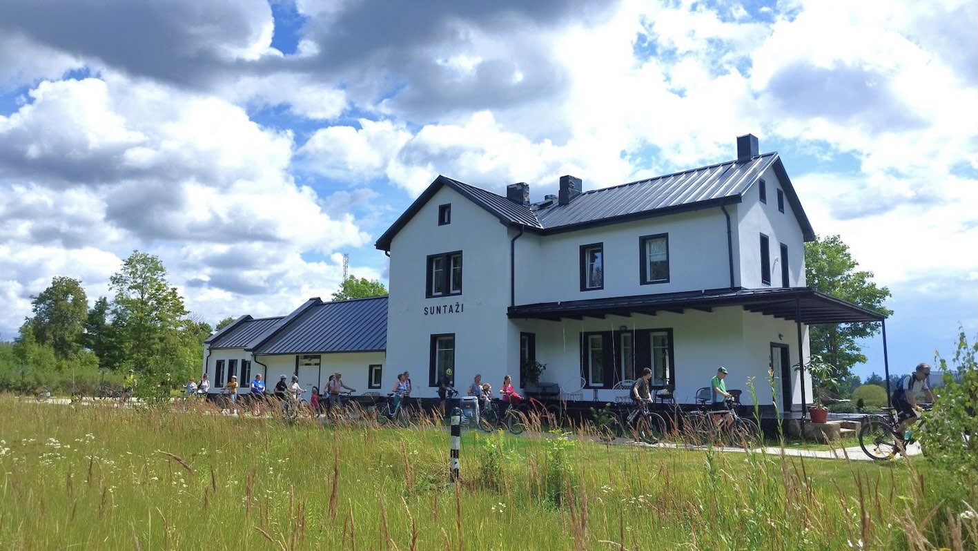
Another remarkable example of railway heritage renovation is Suntaži Station, which has been transformed into a family hotel. After the railway line was closed and the tracks were removed, the building was carefully renovated over several years, preserving its railway character and nostalgic atmosphere. Today, it offers a peaceful stay surrounded by history, combining the charm of an old railway station with modern comfort.
Local Grenways sections around Valmiera (5 km), Dikļi (10 km) and Gulbene (2 km) – are short few km long sections along the former railways with emblematic train stations.
Greenways in Latvia are coordinated through cooperation between municipalities, regional planning authorities, tourism organisations, and infrastructure managers. They are designed not only as recreational routes but also as tools for regional development, promoting sustainable mobility, healthy lifestyles, and nature-based tourism.
A distinctive feature of the Latvian approach is the emphasis on cross-border cooperation. Together with Estonia, Latvia has created a seamless network of greenways that allows visitors to travel across borders without interruption, while experiencing forests, bogs, rivers, historic railway heritage, and rural communities. Recent projects have also focused on making the routes more accessible for people with reduced mobility, improving signage, rest areas, digital information, and connections with local tourism services.
Today, Latvia is considered one of the leading countries in the Baltic region for the development of railway-based greenways, demonstrating how former railway infrastructure can be successfully transformed into attractive and sustainable tourism destinations.
CZECH REPUBLIC
There are several outstanding greenways in the Czech Republic that have been created by converting abandoned railway lines, although most Czech greenways follow natural river corridors. There are also several long-distance trails in which only certain sections qualify as typical greenways, while other sections run along existing roads shared with motor traffic. One example is the Prague–Vienna Greenway, the oldest Czech greenway project inspired by U.S. greenways, such as the East Coast Greenway. The greenways programme in Czechia is also closely linked to the EuroVelo network.
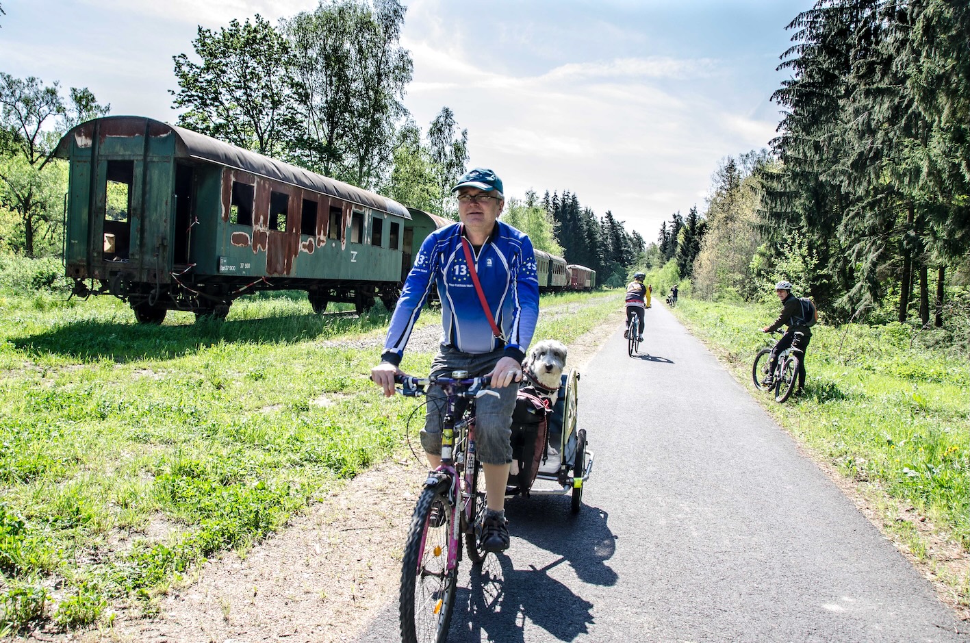
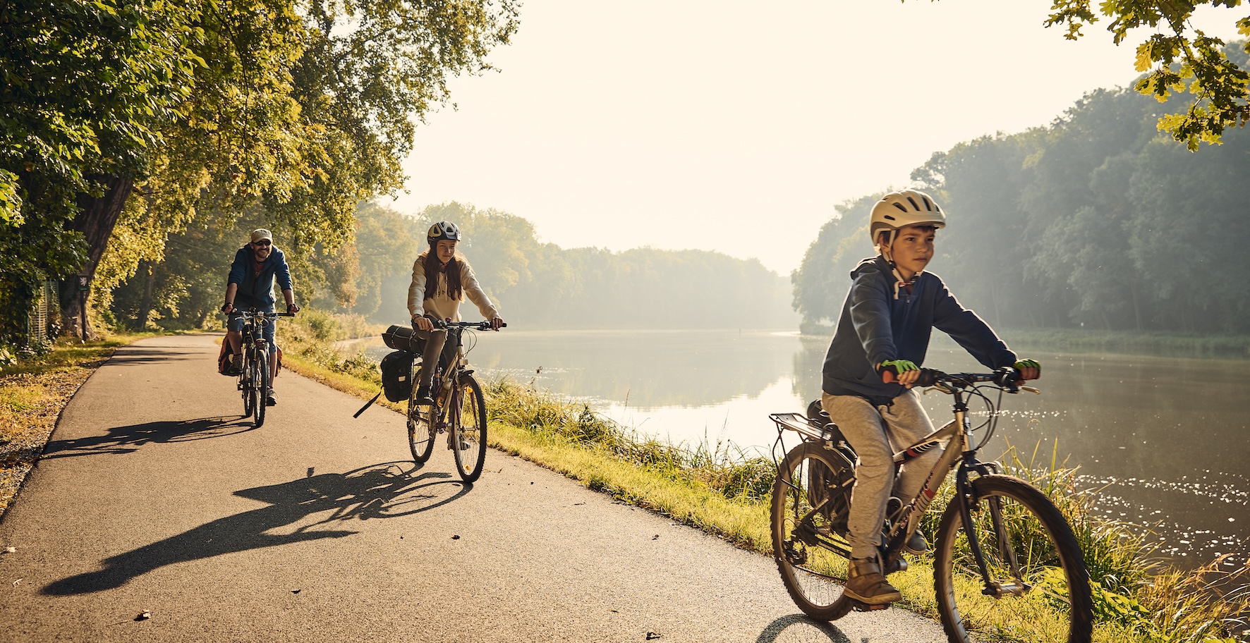
- The emblematic long-distance river corridor greenway is Labská stezka / Elberadweg running along the Elbe river in Czech Republic and Germany.
The Elbe Cycle Route is one of Europe’s most popular long-distance cycling routes, following the course of the Elbe River from its source in the Krkonoše Mountains in the Czech Republic to its mouth at the North Sea in Germany. Stretching for around 1,300 km, the route passes through diverse landscapes, historic towns, UNESCO World Heritage sites, vineyards, nature reserves, and river valleys. In the Czech Republic, the Elbe Cycle Route forms part of the national cycling network and extends for approximately 370 km, connecting major destinations such as Špindlerův Mlýn, Hradec Králové, Pardubice, Kolín, Nymburk, Mělník, Litoměřice, Ústí nad Labem, Děčín, and the German border. A branch route also links the trail to Prague.
Another example of the river greenways dedicated mostly for cycling are:
- Cyklostezka Bečva (Bečva Cycle Path) is around 153 km route, following the Bečva River from its mountain headwaters in the Beskydy Mountains to its confluence with the Morava River near Tovačov.
- Cyklostezka Ploučnice (Ploučnice Cycle Path) is a 100 km scenic long-distance cycle route that follows the Ploučnice River from its source at the foot of Ještěd Mountain to its confluence with the Elbe River in Děčín, linking the Liberec and Ústí nad Labem regions.
- Greenway Jizera following the Jizera River from its source in the Jizera Mountains to its confluence with the Elbe River near Lázně Toušeň. The route is approximately 159 km long and traverses the Liberec, Central Bohemian, and Prague regions, linking mountain landscapes with the Bohemian Paradise, historic towns, and riverine floodplains.
One of the wonderful example that link greenways and regular cycling routes are Moravian Wine Trails. The 1200 km Moravian Wine Trails (Moravské vinařské stezky) are designed to promote sustainable tourism and the wine-growing landscapes of South Moravia. The network combines cycling, wine tourism, cultural heritage, and local gastronomy, encouraging visitors to explore the region at a relaxed pace.
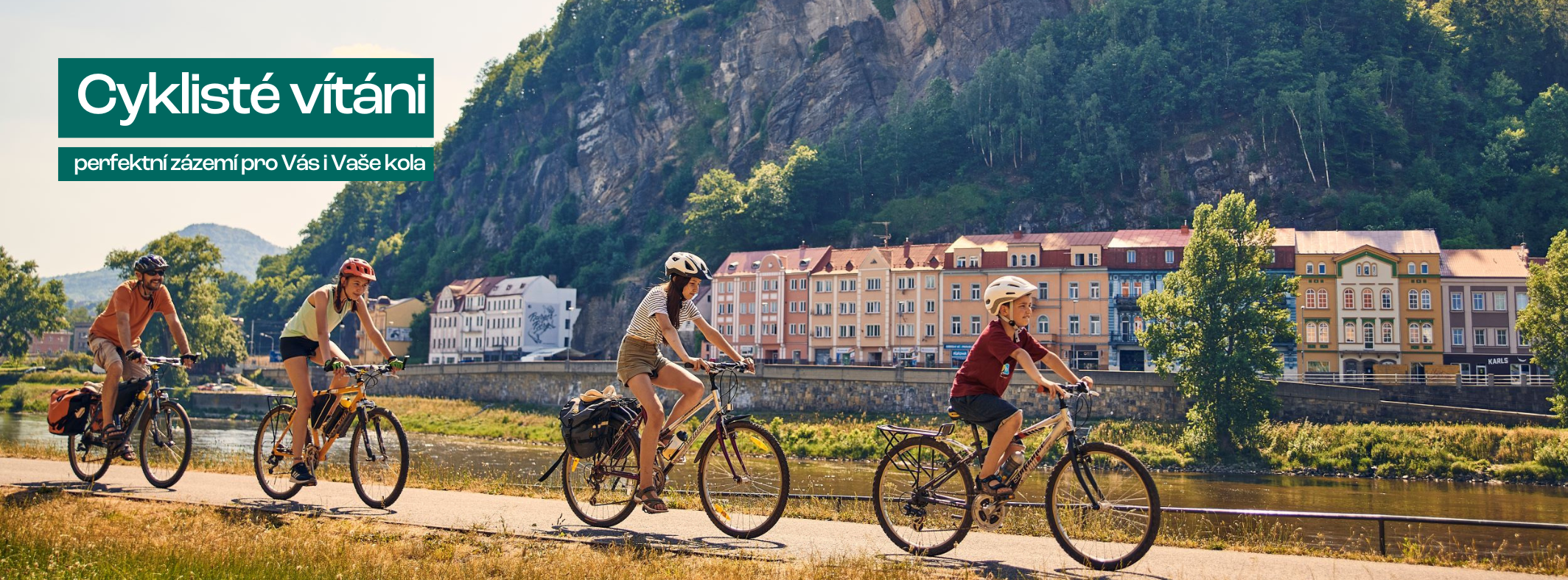
See also the web portal Cyclists welcome of TOP cycle routes in Czechia including EuroVelo routes, Greenways and cycling friendly businesses.
POLAND
In Poland, the Central European Greenways methodology was introduced by the Greenways Poland Association, formerly the Greenways Programme of the Environmental Partnership Foundation. Greenways are developed primarily along river corridors, with some rail-to-trail sections, mostly by regional authorities or local associations. The most active regions include Silesia, Małopolska, Podkarpackie, Lubelskie, Podlaskie and West Pomerania.
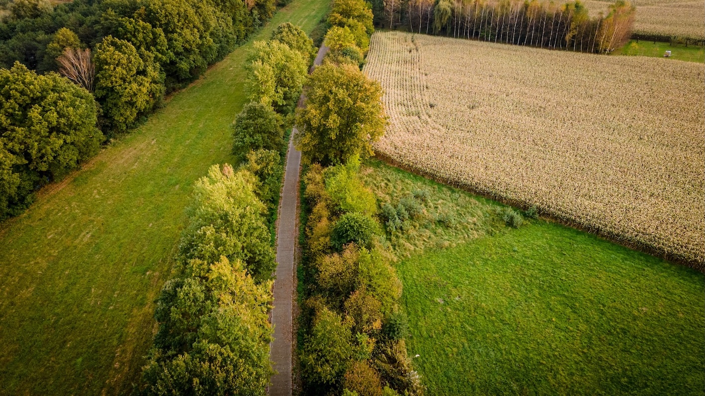
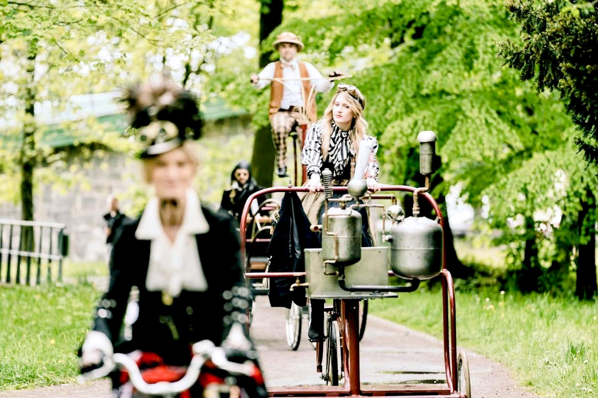
- A notable example of a rail-to-trail greenway is the Iron Bicycle Trail, located in the border region between Poland and Czechia (Cieszyn Silesia Euroregion).
This 54 km circular route links the two countries and was created along disused 19th-century railway lines. The former, degraded railway infrastructure was transformed into a cross-border rail-to-trail greenway – the first project of its kind in Poland. The trail forms a unique cross-border loop connecting a partnership of five municipalities and towns on both sides of the border, in Poland’s Silesian Voivodeship and the Moravian-Silesian Region of Czechia. The Olza Association for Development and Regional Cooperation organises an annual Greenway Festival, celebrating the route and promoting sustainable tourism and cross-border cooperation.
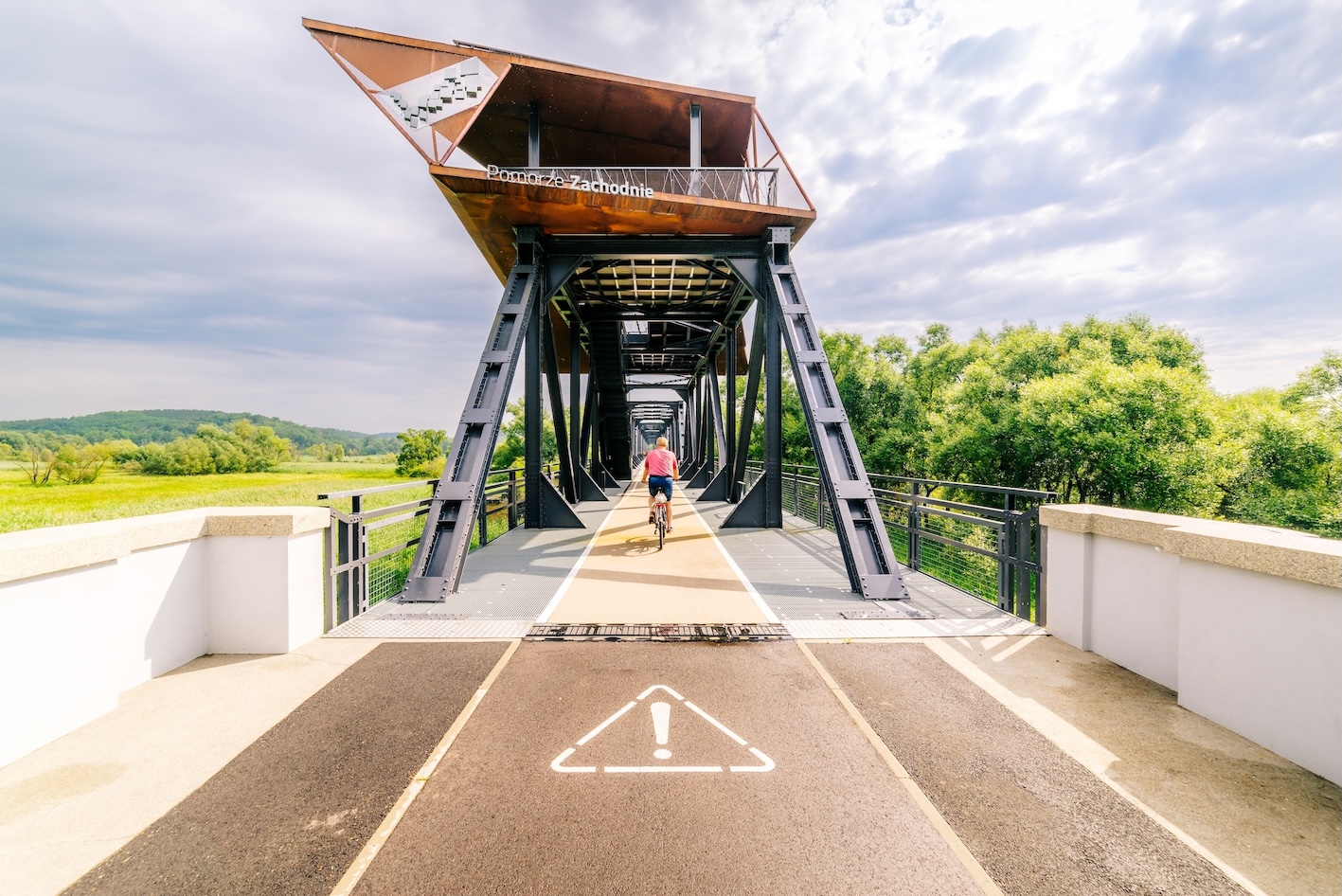
The West Pomeranian Region stands out for its strong commitment to sustainable mobility and the transformation of former railway corridors into greenways. A remarkable example is the cross-border Polish–German rail-trail greenway featuring the spectacular European Bridge. A key element of the project is the restoration of the historic railway bridge, which has been transformed into a 660 m-long observation platform with a strong environmental focus, offering unique views of the river and its natural floodplains. The project is the result of successful cross-border cooperation and has become a symbol of reconciliation between Poland and Germany. It encourages local walking and cycling, while also attracting visitors from across the region and establishing itself as a major tourist destination.
Greenways methodology in the Podkarpackie Region (South-East Poland) was introduced as part of the OUR WAY INTERREG Europe project on “PreservatiOn and promotion of cUltural and natural heRitage through GreenWAYs“. But first historical greenway project was so called Green Bicycle – East Carpathian Greenway across the Polish–Slovak–Ukrainian borderlands of the Eastern Carpathians (a dream greenway to be completed).
- In the region the most important trail is the Green Velo Eastern Poland Cycling Trail, the largest signed cycling route in Poland and one of the most important cycling tourism projects in the country. The entire trail is approximately 2,000 km long and crosses five eastern Polish voivodeships: Warmian–Masurian, Podlaskie, Lubelskie, Podkarpackie, and Świętokrzyskie. In the Podkarpackie Region, Green Velo runs for approximately 428–459 km, making it one of the longest regional sections of the route. It crosses the Carpathian Foothills, Lower San Valley, Przemyśl area, Roztocze borderlands, and Bieszczady foothills, offering a combination of natural landscapes and cultural heritage.
In Podlaskie Region the most emblematic trail (partly a greenway) is White Stork Trail.
- The White Stork Trail (Polish: Podlaski Szlak Bociani) is a flagship eco-tourism cycling greenway in northeastern Poland, located mainly in the Podlaskie Voivodeship. It was created to showcase the exceptional natural and cultural heritage of the Podlasie region, especially its famous populations of white storks, traditional villages, wetlands, and protected landscapes, including 4 national parks.
The Małopolska Region has developed an extensive network of VeloMałopolska cycling routes, which follow the region’s major river corridors, alongside thematic heritage trails, some sections of which are typical off-road greenways.
- One example is the Amber Trail Greenway, whose Małopolska section is 247 km long. It runs from the Polish–Slovak border to Kraków and is planned to be extended northwards to Gdańsk on the Baltic Sea, following the Vistula River corridor, and southwards through Banská Štiavnica in Slovakia to Budapest, Hungary.
Some sections of the Amber Trail, particularly those in Kraków, are typical greenways, offering safe, traffic-free routes for cyclists and pedestrians. Rather than being merely a cycling route, the Amber Trail Greenway is a network of cycling and walking routes, heritage sites, cultural events, and community initiatives that promote sustainable tourism, local development, and the conservation of natural and cultural heritage.
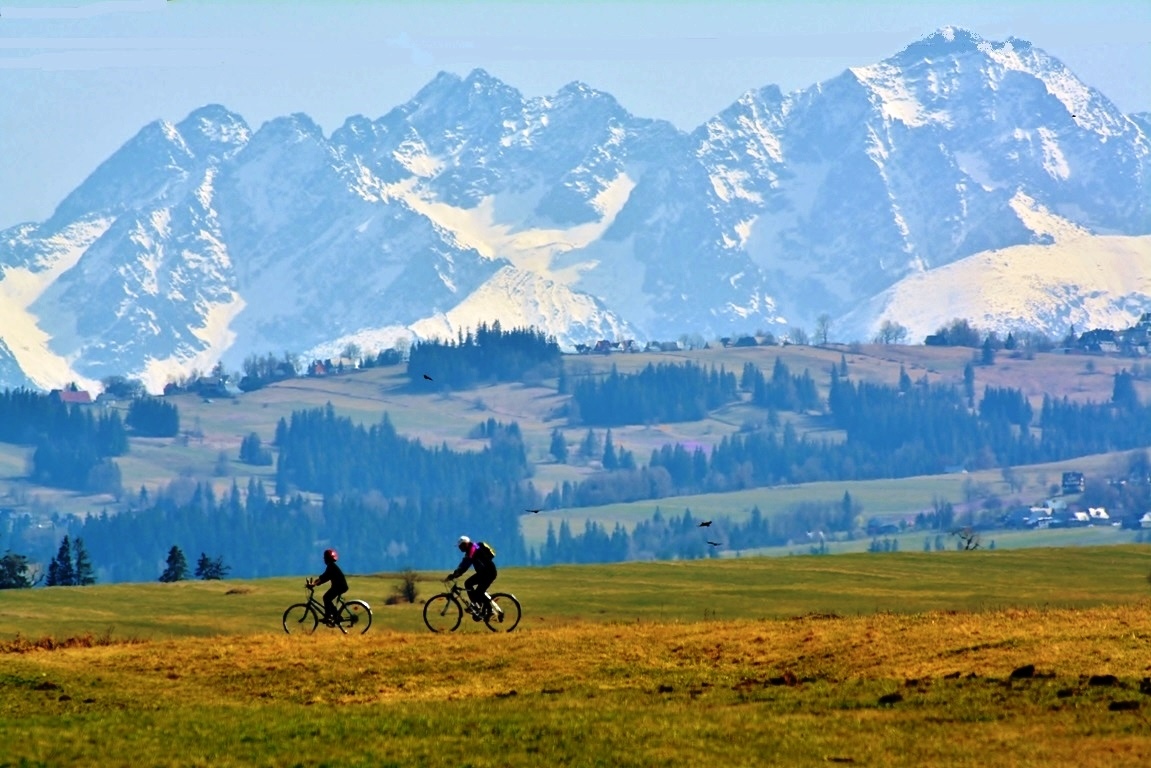
VeloMałopolska is a regional network of high-quality long-distance cycling routes developed by the Małopolska Regional Government to create a coherent, safe, and attractive cycling system for both tourism and everyday mobility. The network currently comprises more than 1,000 km of routes and connects all parts of the region, linking major cities with protected landscapes, cultural heritage sites, and popular tourist destinations. The network consists of eight principal routes, including the Vistula Cycle Route (Wiślana Trasa Rowerowa), VeloDunajec, VeloMetropolis (part of EuroVelo 4), VeloNatura (part of EuroVelo 11), VeloRaba, VeloSkawa, VeloPrądnik, and VeloRudawa. In 2025, a section of the VeloDunajec cycling route in the Pieniny Mountains was awarded second prize at the European Greenways Award.
The Lubelskie Region is one of the most active regions in the development of greenways, particularly through the Green Ring Local Action Group (Zielony Pierścień). The region has developed a network of cycling routes, kayaking trails, and greenways, including a section of the Amber Trail Greenway. This network integrates the promotion and interpretation of local natural and cultural heritage with the development of local products, ecomuseums, and community fairs, thereby supporting sustainable tourism and local development.
SLOVAKIA
The beginnings of Greenways in Slovakia are closely linked to the Environmental Partnership and its Slovak member, Nadácia Ekopolis, through the Central European Greenways Program. The Greenways methodology was introduced from the United States, inspired by the American Greenways movement and its pioneers, including William S. Moody, former Program Director of the Rockefeller Brothers Fund. In the early 2000s, Banská Štiavnica, a UNESCO World Heritage Site in southern Slovakia located on the historic Amber Trail, became the heart of Greenways development in the country.
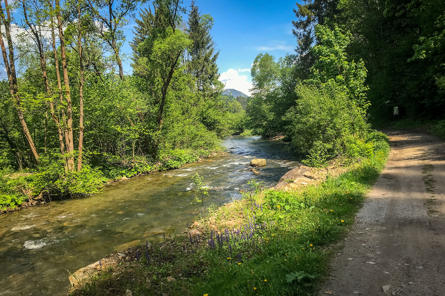
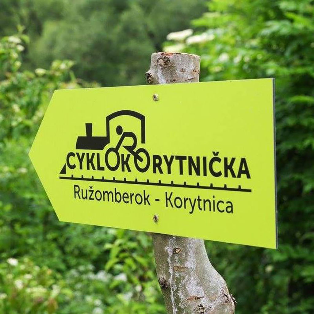
- Today, one of the best examples of rail-to-trail Greenway in Slovakia is the CykloKorytnička Cycling Route inspired by the tourist and sport club OTI Slovakia It is a 46 km family-friendly themed cycling trail in the Ružomberok region of Slovakia that follows the route of the former “Korytko” narrow-gauge railway, which operated between 1908 and 1974 and connected Ružomberok with the famous Korytnica Spa.
The route follows the historic railway corridor through the valleys of the Revúca and Korytnica rivers. It leads cyclists to the healing mineral springs of the former Korytnica Spa, once a renowned spa destination. Railway operations ended on 28 September 1974, after which the track was dismantled to make way for a new road. Along the route, 11 interpretation panels present the history of the railway and its importance to the region. The route combines railway heritage, nature, and cycling tourism, allowing visitors to travel along a former railway corridor while discovering historic stations, scenic river valleys, and the cultural legacy of the Korytnica Spa. It is an excellent example of how disused railway infrastructure can be transformed into a recreational greenway.
GEORGIA
Greenways Georgia is a national initiative led by the Georgian Ecotourism Association (GEA) to develop a network of greenways that promote sustainable mobility, ecotourism, and rural development. The project is bringing Georgia into the international Greenways movement by reviving historic routes, traditional paths, and former transport corridors as non-motorised trails for walking and cycling.
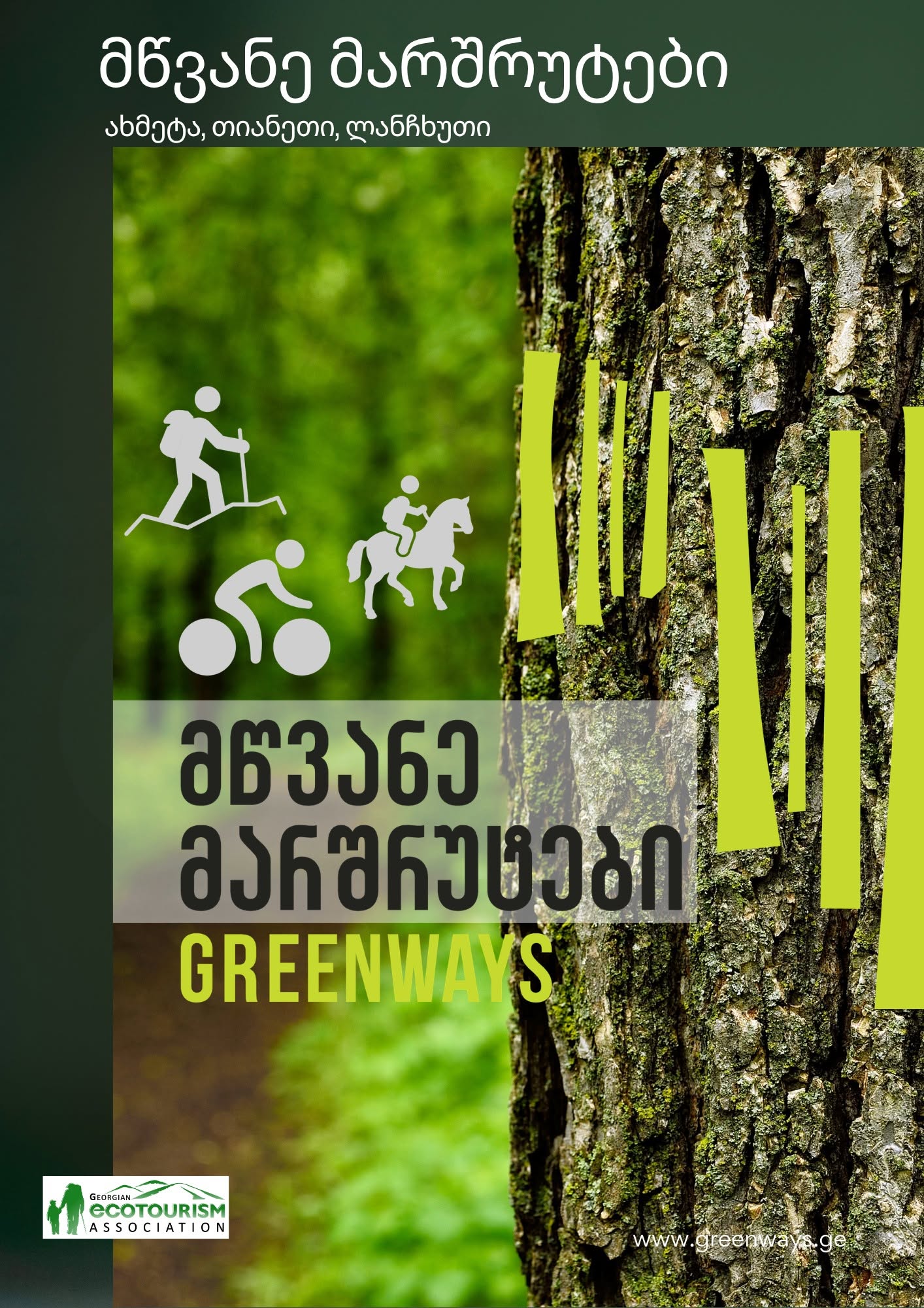
The initiative focuses on creating safe, environmentally friendly routes that connect nature, culture, and local communities. Greenways are designed to encourage slow travel while supporting local businesses, family guesthouses, wineries, artisans, and rural tourism providers.
The project highlights Georgia’s unique heritage as a crossroads between Europe and Asia, reviving historic paths that once linked villages, vineyards, mountain communities, and trade routes, including corridors associated with the Silk Road.
Greenways Georgia transforms historic routes into sustainable travel corridors, offering visitors an authentic way to discover Georgia’s landscapes, traditions, hospitality, and rural culture while contributing to local development and environmental protection.
The current network focuses on three pilot greenways:
- Akhmeta Greenway is a 21 km cycling route in Georgia’s Kakheti region that connects Zemo Khodasheni and Chachkhriala, following quiet rural roads through vineyards, forests, and historic villages. Along the way, visitors enjoy panoramic views of the Alazani Valley, traditional wineries, and family-run wine cellars that highlight Kakheti’s renowned winemaking traditions.
- Tianeti Greenway is a 9 km easy hiking and horseback trail in eastern Georgia that follows an ancient caravan route between Sioni and Devenaantkhevi. Along the route, visitors can enjoy an eco-museum, interpretation panels, and the Sabaduri Horse Ranch, where they can experience Georgia’s equestrian traditions.
- Lanchkhuti Greenway is a 28 km easy cycling route in Georgia’s Guria region that connects the villages of Kvemo Shukhuti and Zemo Shukhuti through peaceful rural landscapes. The trail passes traditional Gurian villages, forests, hazelnut orchards, churches, and natural attractions. The Greenway combines nature, cultural heritage, and local traditions, offering visitors an authentic experience of Guria while promoting sustainable tourism and slow travel.
THE BALKANS – SERBIA, BOSNIA & HERZEGOVINA
The Western Balkans Greenways project aims to transform abandoned narrow-gauge railway lines into a cross-border network of cycling and walking routes, promoting sustainable tourism, active travel, and the preservation of railway heritage. Led by the Yugo Cycling Campaign with support from the Western Balkans Fund, World Bank and the European Union, the initiative has already developed pilot greenways in Serbia, Bosnia and Herzegovina, and Montenegro.
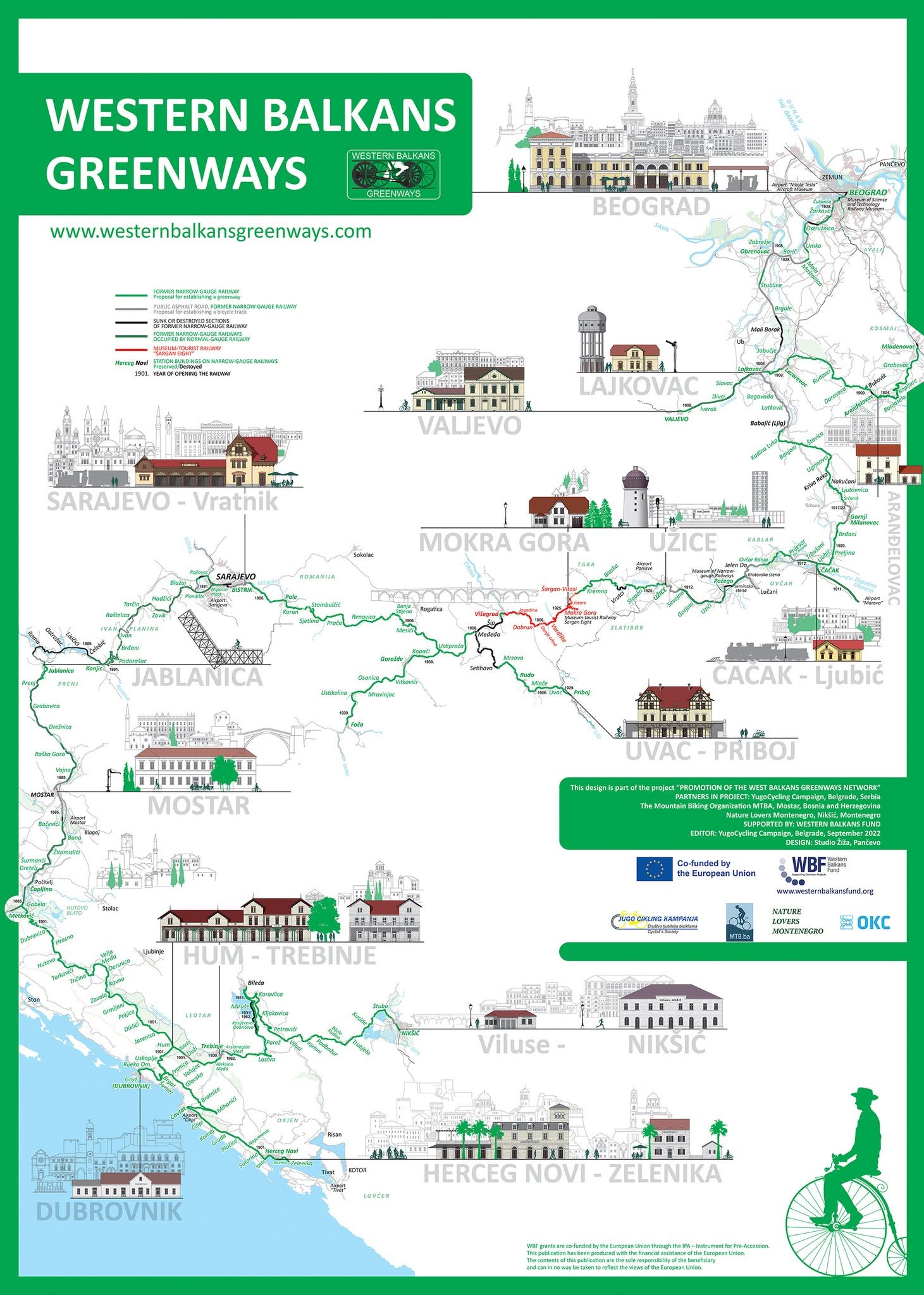
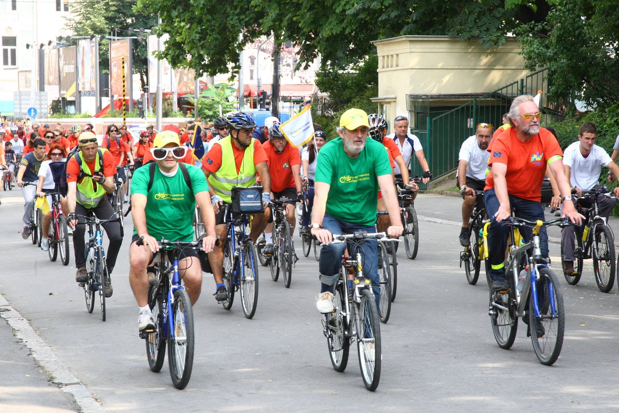
The long-term vision is to create a continuous Greenway corridor called Giro di Ćiro linking Belgrade, Sarajevo, Mostar, Dubrovnik, Nikšić, and Herceg Novi, connecting approximately 800 km of former Austro-Hungarian narrow-gauge railway in Serbia, Bosnia and Herzegovina, Montenegro, and Croatia. Beyond improving outdoor recreation, the project aims to strengthen local economies, encourage regional cooperation, and position the Western Balkans as an attractive destination for cycling tourism.
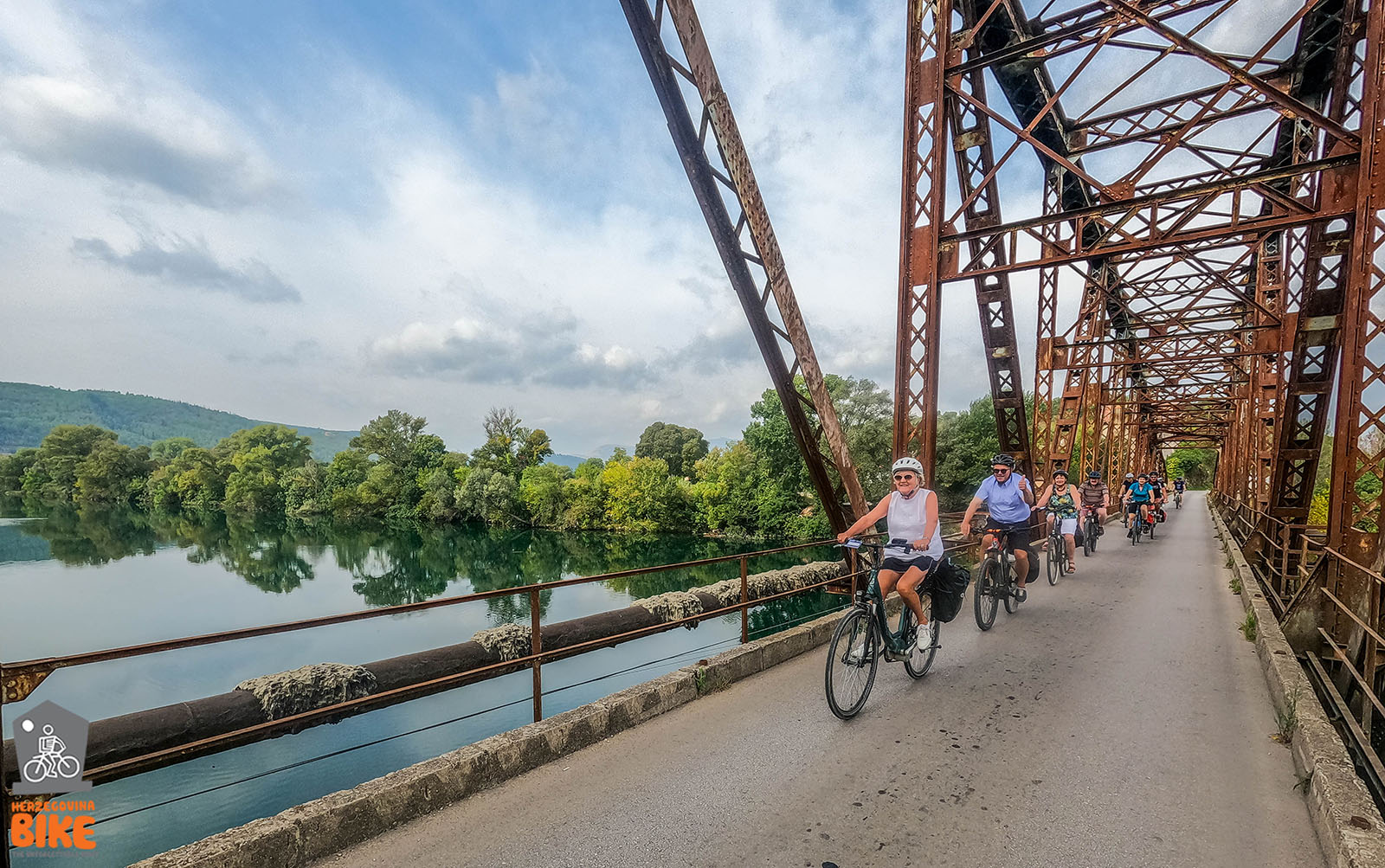
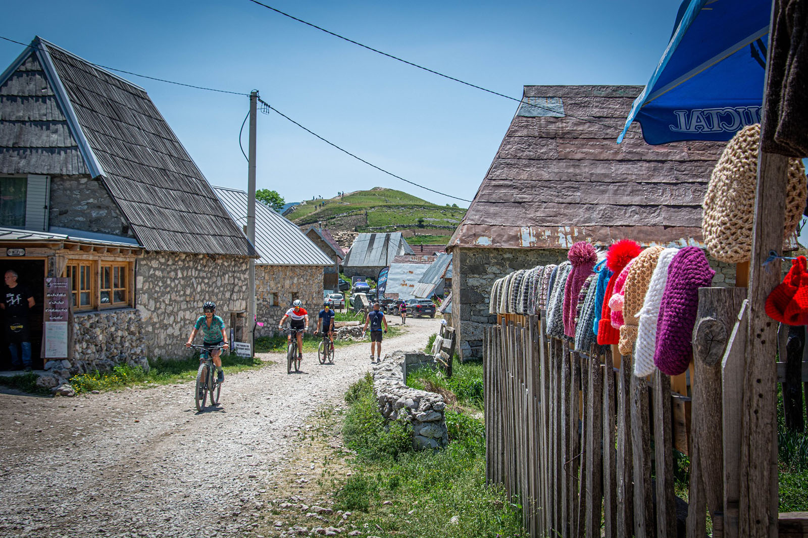
Key partner of the Greenways development is HerzegovinaBike Association. The HerzegovinaBike trail network offers more than 2,000 km of signposted cycling routes through the diverse landscapes of Herzegovina, connecting natural attractions, historic towns, cultural heritage, and rural communities.
- One the routes is the Ćiro Heritage: World Heritage Trail is a 67.6 km cycling route that follows the historic narrow-gauge Ćiro railway through the heart of Herzegovina.
Starting in Čapljina, it passes some of the region’s most important cultural and natural landmarks, including the medieval town of Počitelj, the UNESCO-listed Radimlja Stećak Necropolis, the historic town of Stolac, the Boljuni Necropolis, and Vjetrenica Cave. The route combines mostly paved roads with some gravel sections, making it ideal for gravel bikes while offering a scenic journey through rural landscapes and former railway heritage.